What is recorded here
Conjoined ringforts at Ballyglass: two raths joined by a causeway, the northern one D-shaped with a straight SE-SW edge. A low, overgrown bank and a shallow fosse mark the division, while gaps at ENE and south admit entry. The northern interior has become a tangle, inaccessible except where the causeway cuts through. Whatever lived there has handed the place back to grass and shadow.
This rath is the northern part of a conjoined ringfort (see also GA068-040002-). It is roughly D-shaped in plan (32.5m E-W; 28.8m N-S), with the straight side running from SE to SW. It is defined by a low, degraded and, in places, very heavily overgrown bank (base Wth 3m; max. ext. H 2.2m; av. int. H 0.4m) from N to NNE and from ENE to SE; elsewhere it is delimited by a scarp. A modern field bank has been built along the outer face of the enclosing element from WNW to SE. From SE to SW a wide shallow fosse (Wth 4m D 0.55m) separates the two raths. No trace of it survives from SW to W but from W through N to SE a slight depression (D 0.1m), highlighted by a change in vegetation colour, indicates its line. Gaps are evident in the bank at ENE (Wth 4m) and at S (Wth 4.5m). The latter leads to a causeway (Wth 4.8m), which accesses the adjoining rath to the S. The interior of the rath is overgrown, particularly the N sector, which is inaccessible. There is a Man-made underground passage (GA068-040001-) in the SW quadrant. Outhouses have been built close to the monument to the SW.
Compiled by: Olive Alcock
Date of upload: 11 August 2015
The monument record does not grant public access. Check the route and ask the landowner before entering private land.
- What survives
- Recorded monument
Places near here
 Man-made underground passageMan-made underground passage · 11 yd
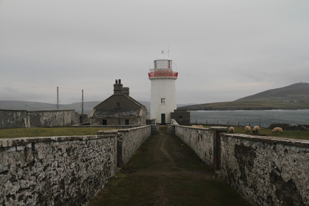 Man-made underground passage in Ballyglass (kilconnell By.)Man-made underground passage · 46 yd
 Quarry in Ballyglass (kilconnell By.)Quarry · 246 yd
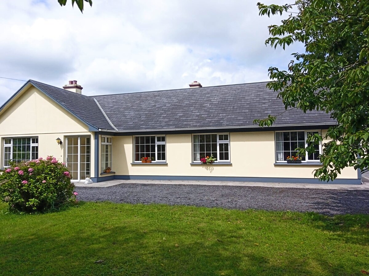 Buxtown HouseHouse, 18th/19th century · 1182 yd
 Kilconnell AbbeyHeritage attraction · 1529 yd
 Castle (in Ruins)Castle, unclassified · 1.6 mi
 Large-leaved LimeLarge-leaved Lime · 2.0 mi
 CastleCastle, unclassified · 2.0 mi
 Western RedcedarWestern Redcedar · 2.5 mi
 Battle of Aughrim Interpretative CentreMuseum · 4.8 mi
 Battle of AughrimMajor battlefield · 5.3 mi
 The bloody HollowHeritage attraction · 5.6 mi