What is recorded here
Mortars and fires always vanish inside that circle, which is why the fort still belongs to the fairies rather than men.
Depicted on current edition of the OS 6-inch map as a circular enclosure (approx. dims. 47m N-S; 48m E-W). Shown on the first edition of the OS 6-inch map as a circular grove of trees in a manner similar to a landscape feature possibly assoicated with Ballygeehin House to the SW. Could be a ringfort re-used as a landscape feature or a landscape feature of 18th century date associated with the landscaping carried out by the occupants of Ballygeehin House. On the first edition of the OS 6-inch maps the surveyors did not marke the site as an antiquity.
Compiled by: Caimin O'Brien
Date of upload: 17 December 2007
The monument record does not grant public access. Check the route and ask the landowner before entering private land.
- What survives
- Recorded monument
Places near here
 Ballygeehin Castle (in Ruins)Bawn · 639 yd
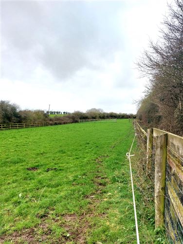 Enclosure in Ballygeehin UpperEnclosure · 1175 yd
 Enclosure in Boley UpperEnclosure · 1203 yd
 Kyle-cruttiaChurch · 1.0 mi
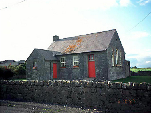 Ballacolla National Schoolschool · 1.1 mi
 Scotch RathHouse, fortified house · 1.8 mi
 European PearEuropean Pear · 1.9 mi
 Birchfield PlantationForest · 2.0 mi
 Knocknamoe HouseMemorial · 4.0 mi
 Abbeyleix Heritage CentreMuseum · 4.1 mi
 Anker's IslandIsland · 6.9 mi
 Cnoc SeanrathaMemorial · 9.3 mi