What is recorded here
Situated on an E-facing slope in undulating terrain with the River Drish flowing c. 50m S of the site; beet is planted in the surrounding field. Depicted as a circular enclosure on the 1st (1843) and current (1952-53) ed. OS 6-inch map. The site is too overgrown to obtain a diameter. It is defined by a scarp (H 1.1-2.28m), a fosse (Wth 2.1m; D 1.06m) and and outer earth and stone bank (Wth 1.4m crest; ext. H 1.55m). At N and W the outer bank has been pushed into the fosse and the base of the bank in the SW sector has been slightly quarried. There is stone facing on the inner and outer face of the outer bank in the SW quadrant. This site may be a later medieval earthwork rather than a ringfort.
Satellite imagery (Google Earth, imagery date 12 August 2022) shows linear ditches, which appear as cropmarks, to the NE-E-SE of the ringfort. These may be part of field system associated with the ringfort but could also be relatively modern drainage ditches which have been filled in.
See attached imagery:
TN041-046----_01 Google Earth satellite imagery; imagery date 12 August 2022
The above description is derived from 'The Archaeological Inventory of County Tipperary. Vol. 1 - North Tipperary' compiled by Jean Farrelly and Caimin O'Brien (Dublin: Stationery Office, 2002). In certain instances the entries have been revised and updated in the light of recent research.
Date of upload/revision: 28 June 2023
The monument record does not grant public access. Check the route and ask the landowner before entering private land.
- What survives
- Recorded monument
Places near here
 Church (n Ruins)Church · 709 yd
 Enclosure in Rathmanna (rahelty Par.)Enclosure · 838 yd
 Cliff-edge fort in Knockroe (rahelty Par.)Cliff-edge fort · 1347 yd
 Rahelty CastleCastle · 1.1 mi
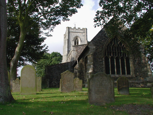 Rahelty Church (in Ruins), Grave YardChurch · 1.1 mi
 Bawn in ArcherstownBawn · 1.9 mi
 European ashEuropean ash · 2.1 mi
 Famine & War MuseumMuseum · 2.2 mi
 Byrnes's WoodsForest · 2.3 mi
 Pheasant IslandHeritage attraction · 2.3 mi
 Killough Hill (site of)Mountain / peak · 6.3 mi
 Pallas HillMountain / peak · 8.3 mi