What is recorded here
No walls remain, only a field boundary that bends to avoid the hidden fort. The earth keeps its own counsel while people draw lines around the unknown.
In pasture, on S-facing slope. According to local tradition, site of ringfort. No visible surface trace. Field boundary to E kinks to respect site.
The above description is derived from the published 'Archaeological Inventory of County Cork. Volume 2: East and South Cork' (Dublin: Stationery Office, 1994). In certain instances the entries have been revised and updated in the light of recent research.
Date of upload/revision: 14 January 2009
The monument record does not grant public access. Check the route and ask the landowner before entering private land.
- What survives
- Recorded monument
Places near here
 IndicatedFairy fort / earthen ringfort · 187 yd
 Fulacht fia in ParkgarriffFulacht fia · 707 yd
 sign postsign post · 1035 yd
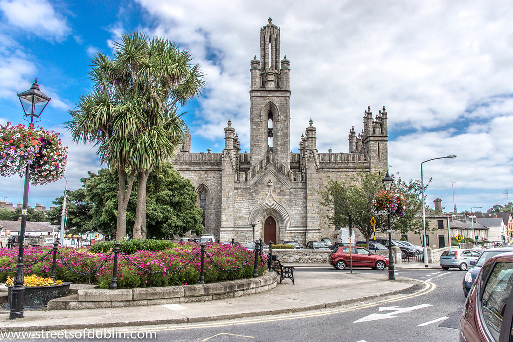 Monkstown Church (in Ruins)Church · 1166 yd
 Passage West Maritime MuseumMuseum · 2.0 mi
 Rochestown WoodWood · 2.2 mi
 Thomas Kent StationMemorial · 5.8 mi
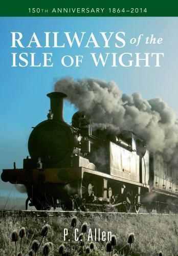 150th Anniversary of Railways in CorkMemorial · 5.8 mi
 Cork WalksVisitor information · 6.0 mi
 Tourist OfficeVisitor information · 6.1 mi
 Castle Househouse · 1167 yd
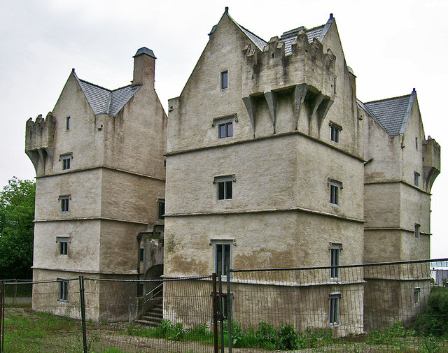 Monkstown Castlecastle/fortified house · 1252 yd