What is recorded here
Fairy fort in Ballyfookeen is a circular embanked enclosure about twenty metres across, set on a south-facing hill slope in County Limerick. Thorn and briars still choke most of the entrance, while a rubbish-filled dip marks the east side and a one-metre bank rises where the field boundary bends away. The fort has stood inside a square of pasture long enough for people to stop entering it and start believing it belongs elsewhere.
In pasture, on S-facing hill slope. Monument, depicted on 1923 OS 6-inch map as circular embanked enclosure (diam. c. 20m), is now largely inaccessible due to dense cover of thorn and briars. Enclosure is contained on all sides by field boundaries forming square enclosure around site. Rubbish-filled dip visible along E side (Wth 2.6m) between enclosure and field boundary. External face (H 1m) of enclosing bank/scarp is accessible only at ESE.
Compiled by: Denis Power
Date of upload: 26 August 2011
The monument record does not grant public access. Check the route and ask the landowner before entering private land.
- What survives
- Recorded monument
Places near here
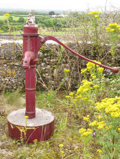 water pumpwater pump · 234 yd
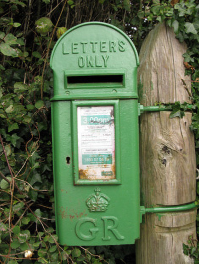 post boxpost box · 237 yd
 Parknaraby FortArchaeological place · 1631 yd
 Enclosure in Ballyteige UpperEnclosure · 1646 yd
 Eagle Mount MoteCastle, motte · 1.3 mi
 Bruree Castle Lower (in ruins)Castle, Anglo-Norman masonry castle · 1.5 mi
 Saint Derivla's WellSpring · 3.8 mi
 Holy Cross CemeteryGraveyard · 4.8 mi
 Our Lady's WellSpring · 4.9 mi
 KnockfeerinaMountain / peak · 5.9 mi
 Famine stoneMemorial · 6.4 mi
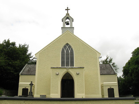 Saint Munchin's Catholic Churchchurch/chapel · 342 yd