What is recorded here
Fairy forts are human places misnamed because people stopped remembering their own history. Ballyfookeen is no exception: a circular earthwork, partly erased, partly replaced by field boundaries, with a mound caught at the corner. The fairies did not build it. People did, lived there, left it, forgot it, and handed the gap in memory to imagination.
In pasture, on N-facing slope. Formerly circular area (diam. 33m SW-NE) enclosed by eroded earthen bank (int. H 0.4m; ext. H 0.3m) S->NW, and defined by scarped edge (H 1.25m; Wth 5.4m) NW->E, but enclosing element replaced elsewhere by two linear field boundaries, which form right angle at SE corner. In SE corner is low earthen mound (H 0.7m; Wth 11m NW-SE) defined by curving scarped edge W->N but truncated by field boundary N->W. Enclosing element overgrown with gorse W->NW but site otherwise under pasture.
Compiled by: Denis Power
Date of upload: 26 August 2011
The monument record does not grant public access. Check the route and ask the landowner before entering private land.
- What survives
- Recorded monument
Places near here
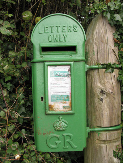 post boxpost box · 1017 yd
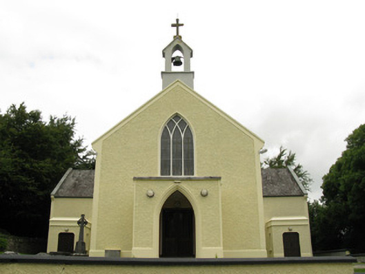 Saint Munchin's Catholic Churchchurch/chapel · 1017 yd
 Enclosure in Ballyteige UpperEnclosure · 1025 yd
 Parknaraby FortArchaeological place · 1364 yd
 Eagle Mount MoteCastle, motte · 1.5 mi
 Bruree Castle Lower (in ruins)Castle, Anglo-Norman masonry castle · 1.5 mi
 Saint Derivla's WellSpring · 3.7 mi
 Our Lady's WellSpring · 4.7 mi
 KnockfeerinaMountain / peak · 5.5 mi
 Famine stoneMemorial · 6.0 mi
 Flat cemetery in Kiltenan SouthFlat cemetery · 8.7 mi
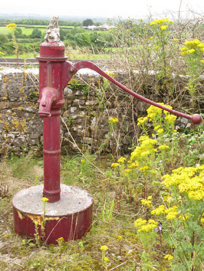 water pumpwater pump · 1040 yd