What is recorded here
Fairy forts are not fairy forts. They are human homes, farms, workshops and shelters from other times. The fairies entered later, perhaps attracted to the shape, the silence or the memory stored in soil. This is a boundary place, set back from the river and marked by a raised oval and a diamond-shaped annexe. It is the kind of site where people lived, died and stopped coming back, leaving a hollow shape that folklore later animated.
In pasture 55m W of the Ahaphuca River that marks the townland boundary with Cullane South. Depicted on the 1840 ed. OSi 6-inch map as a circular enclosure. It is shown on the 1897 ed. OSi 25-inch map as a raised, roughly oval-shaped, area (dims. c. 52m NW-SE; 40m E-W) defined by a fosse from SW-W-N, incorporated into a field boundary from N-SE. Westropp described this site as ‘a ring-fort with a diamond-shaped annexe’ (1916/17, 22). Visible as an irregular-shaped area delimited by trees on Google Earth orthoimages with faint trace of annexe visible to SSE on Digital Globe orthoimage taken between 2011-13.
See attached Google Earth orthoimages.
Compiled by: Martin Fitzpatrick
Date of upload: 10 November 2021
The monument record does not grant public access. Check the route and ask the landowner before entering private land.
- What survives
- Recorded monument
Places near here
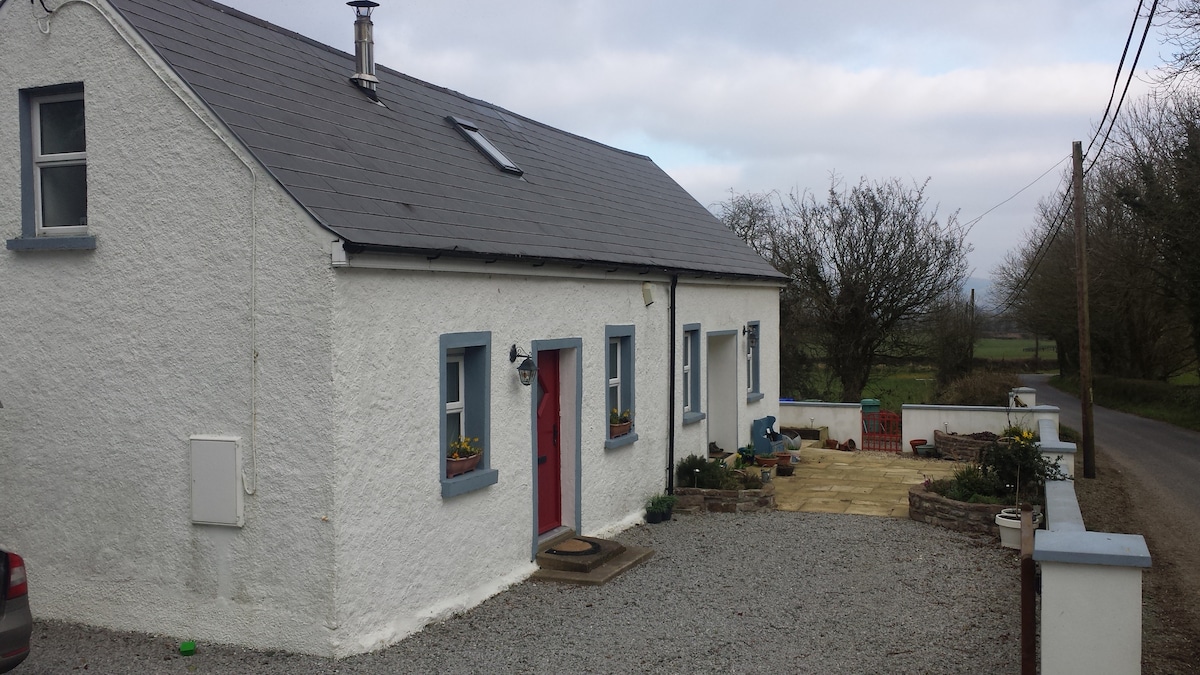 Enclosure in BallyfeerodeEnclosure · 801 yd
 Infants Burial Ground (Disused)Children's burial ground · 1363 yd
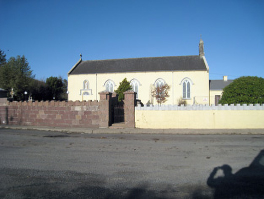 Catholic Church of Our Lady of Ransomchurch/chapel · 1.5 mi
 presbytery/parochial/curate's housepresbytery/parochial/curate's house · 1.5 mi
 Site of CastleCastle, unclassified · 2.3 mi
 Site of Castle, Castle FieldCastle, unclassified · 2.8 mi
 Ballyhoura WayWalking route · 3.1 mi
 Ballyarthur HillMountain / peak · 3.1 mi
 Kilclooney WoodWood · 3.3 mi
 Palatine's RockNamed rock · 3.4 mi
 SlievereaghMountain / peak · 3.5 mi
 Ballinvreena LoopVisitor information · 4.9 mi