What is recorded here
Fairy fort / earthen ringfort in Ballyerk (Moyne parish) is a fairy fort or earthen ringfort in Ballyerk (Moyne parish), County Tipperary, Ireland. It occupies a scarped hillock in flat pasture, forming a circular area 23 metres across from north to south. An earth and stone bank, 2 metres wide, encloses the top, while a possible causewayed entrance 3 metres wide opens toward the northeast. Conifers, thorn bushes and field clearance debris now surround the perimeter and entrance.
Situated on top of a hillock in flat pasture. The hillock has been scarped and flattened on top to form a circular area (diam. 23m N-S) enclosed by an earth and stone bank (Wth 2m; int. H 0.2m; ext. H 0.5m-3m) with possible causewayed entrance (Wth 3m) at NE. The perimeter of the site has been planted with conifers and thorn bushes and field clearance debris has been dumped around the entrance feature.
The above description is derived from 'The Archaeological Inventory of County Tipperary. Vol. 1 - North Tipperary' compiled by Jean Farrelly and Caimin O'Brien (Dublin: Stationery Office, 2002). In certain instances the entries have been revised and updated in the light of recent research.
Date of upload/revision: 22 September 2008
The monument record does not grant public access. Check the route and ask the landowner before entering private land.
- What survives
- Recorded monument
Places near here
 Castle (in ruins)Castle, tower house · 654 yd
 Water millWater mill, unclassified · 714 yd
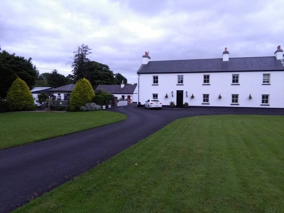 LislacyFairy fort / earthen ringfort · 725 yd
 Enclosure in Lisheen (moyne Par.)Enclosure · 904 yd
 LisdonowleyCastle, ringwork · 1018 yd
 Lisheen Castlecountry house · 1138 yd
 Tullow HillMountain / peak · 3.4 mi
 St. Mary's Famine and War MuseumMuseum · 5.8 mi
 European ashEuropean ash · 5.9 mi
 Famine & War MuseumMuseum · 5.9 mi
 WoodlandWood · 6.6 mi
 Devil's Bit MountainMountain / peak · 9.0 mi