What is recorded here
Fairy forts are not forts at all but circular burial or ritual markers misread by later people. In Ballyelan the earth has been levelled, leaving only a shallow depression that outlines the old boundary. The fairies never lived there; humans did, and forgot they were human.
In pasture, on gentle SW-facing slope. Monument, depicted as embanked circular enclosure (diam. c. 20m) on 1923 OS 6-inch map, has been levelled. However, slight depression (Wth c. 2m; D c. 0.1m) enclosing a circular area (22m N-S; 23m E-W) indicates location of site.
Compiled by: Denis Power
Date of upload: 26 August 2011
The monument record does not grant public access. Check the route and ask the landowner before entering private land.
- What survives
- Recorded monument
Places near here
 St Patricks WellHoly well · 1181 yd
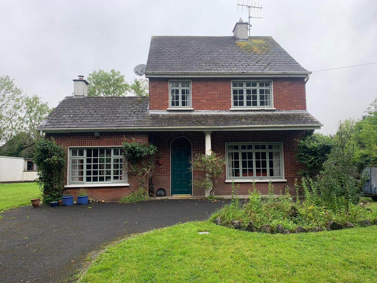 Enclosure in CommonEnclosure · 1212 yd
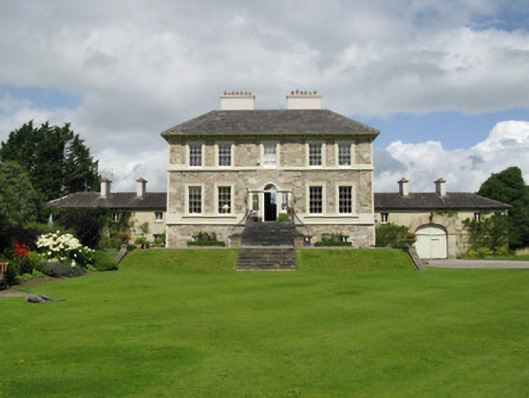 Ballyneale Housecountry house · 1418 yd
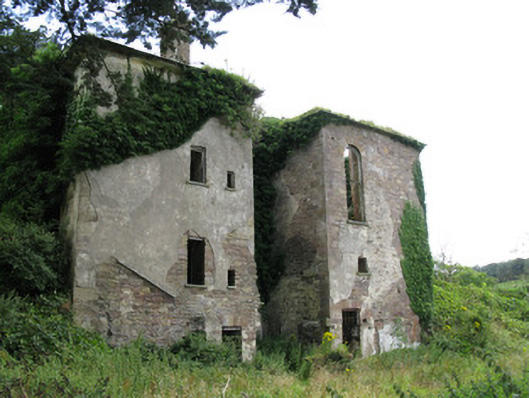 Ballynoe Housecountry house, stables · 1.1 mi
 Famine stoneMemorial · 1.3 mi
 KnockfeerinaMountain / peak · 1.5 mi
 Hachured (1923).Castle, motte · 2.0 mi
 Castle (in ruins)Castle, tower house · 2.2 mi
 Our Lady's WellSpring · 2.7 mi
 Saint Derivla's WellSpring · 3.7 mi
 Flat cemetery in Kiltenan SouthFlat cemetery · 4.7 mi
 Dysert AenghusaHeritage attraction · 5.7 mi