What is recorded here
Marianne and her children stood before the fort, its earth rampart rising like a sleeping beast. She touched the soil, feeling warmth beneath her palms. The children laughed, running circles around the fort while Marianne watched shadows dance across the grass. At sunset, the rampart glowed faintly gold, and for a moment they saw tiny figures moving within. The children claimed the fort was alive, breathing with the land. Marianne smiled, knowing some truths only heart and child can see.
The Archaeological Survey of Ireland (ASI) is in the process of providing information on all monuments on The Historic Environment Viewer (HEV). Currently the information for this record has not been uploaded. To access available information for research purposes please make an appointment in advance with the Archive Unit (open Fridays 10.00 am – 5.00 pm), Department of Housing, Local Government and Heritage, The Custom House, Dublin 1 D01W6XO or email NMarchive@housing.gov.ie.
The monument record does not grant public access. Check the route and ask the landowner before entering private land.
- What survives
- Recorded monument
Places near here
 Nohaval Church (in ruins)Church · 556 yd
 Enclosure in Ballyegan (trughanacmy By.)Enclosure · 1094 yd
 Enclosure in Doolaig SouthEnclosure · 1390 yd
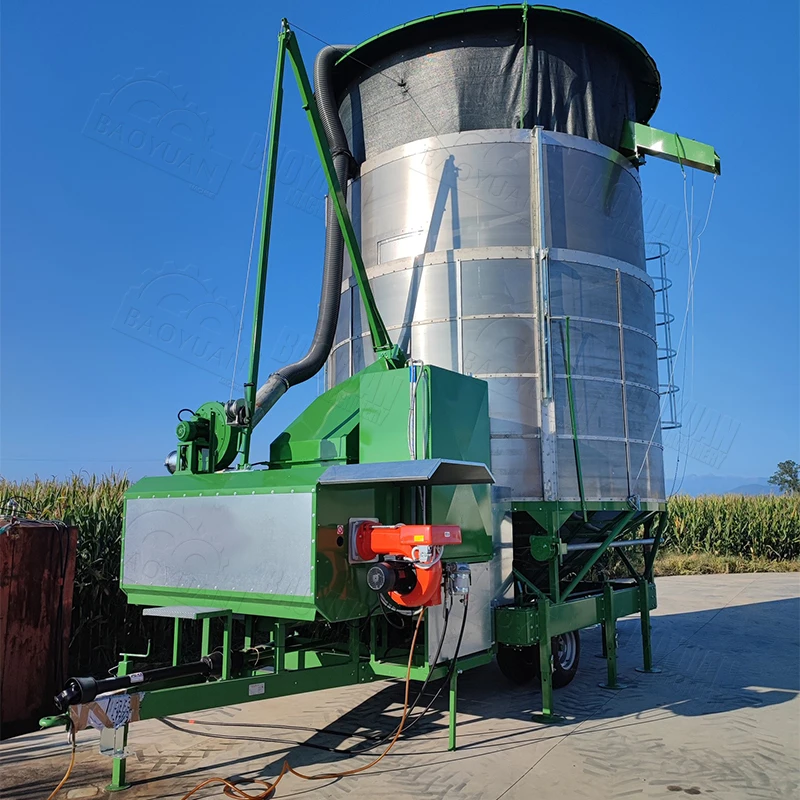 KilnKiln, corn-drying · 1431 yd
 (Site of) Desmond CastleCastle, unclassified · 1.7 mi
 Site of Rockfield Ho.Castle, unclassified · 2.3 mi
 Crag CaveCave · 3.0 mi
 PouldermotCave · 4.2 mi
 Ballincollig HillMountain / peak · 5.2 mi
 Common AlderCommon Alder · 5.3 mi
 Stack's MountainMountain / peak · 5.5 mi
 Ballygamboon Forest Recreation AreaWood · 7.4 mi