What is recorded here
Ballycunningham held a thirty-metre earthen ringfort that men trusted more than fairy tales. It stood in pasture until modern banks and human impatience erased it, leaving no trace for later wonder. The fort was not a joke or a myth, though local names often turn ordinary stones into fairy work. It was a made place, built and broken like every human claim on the earth.
In pasture. Depicted as hachured circular enclosure (diam. c. 30m) on 1842 OS 6-inch map; truncated on NE side by field boundary on 1903 and 1938 OS 6-inch maps. Levelled; no visible surface trace. According to Hartnett (1939, 170) 'fort enclosed all round by modern banks'.
The above description is derived from the published 'Archaeological Inventory of County Cork. Volume 3: Mid Cork' (Dublin: Stationery Office, 1997). In certain instances the entries have been revised and updated in the light of recent research.
Date of upload/revision: 14 January 2009
The monument record does not grant public access. Check the route and ask the landowner before entering private land.
- What survives
- Recorded monument
Places near here
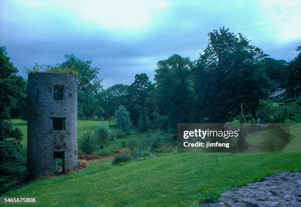 LishahoonFairy fort / earthen ringfort · 679 yd
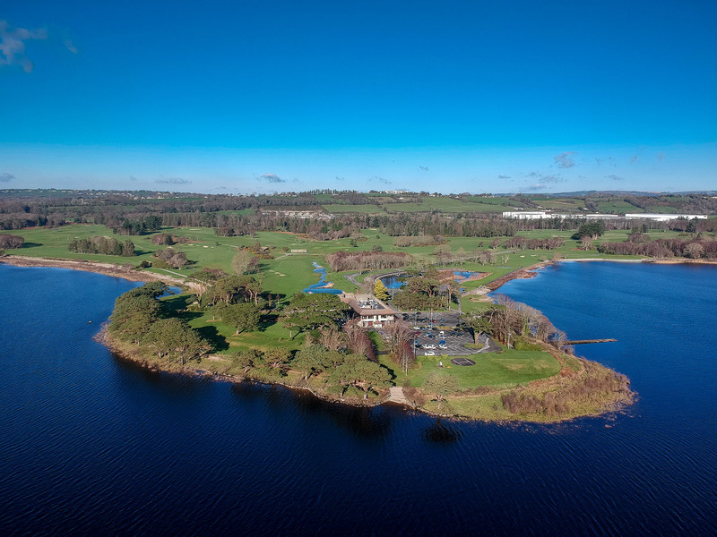 Fulacht fia in KilleenleighFulacht fia · 909 yd
 Saint Bartholomew's WellSpring · 1.1 mi
 Derry HouseCountry house · 1.1 mi
 Dripsey Bridge (Lower)Bridge · 1.1 mi
 Oldcastle WoodWood · 1.9 mi
 New TipperaryVisitor information · 2.0 mi
 Carrignamuck Tower HouseCastle · 3.1 mi
 Ballyvodane Castle (in Ruins)Castle, unclassified · 3.5 mi
 Mullinhassig WoodWood · 4.4 mi
 Mullinhassig WaterfallWaterfall · 4.4 mi
 Ballyanly Inniscarra Slí na SláinteWalking route · 4.9 mi