What is recorded here
Fairy fort in Ballycraheen is a ruined earthen ring on a south-west slope, with a shallow ditch and a bank now hidden under trees and grass. It is the kind of place people once called a fairy fort because the shape appears and disappears under living ground. A person could have stood inside the circle at dusk, watching the slope darken, and imagined the fort belonging to someone else entirely.
In pasture, on SSW-facing slope. Circular area (diam. c. 36m) defined by earthen bank (H 1.4m) ESE->NNW, with external fosse (D 0.8m); levelled elsewhere. Bank planted with deciduous trees; stone-faced in parts.
The above description is derived from the published 'Archaeological Inventory of County Cork. Volume 3: Mid Cork' (Dublin: Stationery Office, 1997). In certain instances the entries have been revised and updated in the light of recent research.
Date of upload/revision: 14 January 2009
The monument record does not grant public access. Check the route and ask the landowner before entering private land.
- What survives
- Recorded monument
Places near here
 Fulachta FiadhFulacht fia · 175 yd
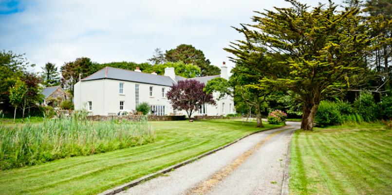 Knockane HouseCountry house · 716 yd
 KilnKiln, lime · 779 yd
 IndicatedFairy fort / earthen ringfort · 1404 yd
 Ballyvodane Castle (in Ruins)Castle, unclassified · 1472 yd
 Ballyanly Inniscarra Slí na SláinteWalking route · 3.2 mi
 Garrycloyne Castle (in Ruins)Castle, tower house · 3.3 mi
 Pairc Ath Na hEornaMemorial · 3.3 mi
 New TipperaryVisitor information · 3.5 mi
 Pakie HoganMemorial · 3.6 mi
 Lyradane MountainMountain / peak · 3.9 mi
 BatsVisitor information · 4.3 mi