What is recorded here
Fairy fort in Ballycotton, County Cork: a 42.4 m earthen ring on a north-facing pasture slope, its bank still standing 1.5 m high beside a later field fence. The southern gap admits light, breath and perhaps visitors who never showed in any human account.
In pasture, on N-facing slope. Roughly circular area (42.4m E-W) defined by earthen bank (H 1.5m) ENE->WNW. Field fence completes enclosure WNW->ENE, but may run outside line of original bank. Low rise with shallow external depression running inside field fence NNE->ENE may be remains of levelled bank. Gap in bank to SSW.
The above description is derived from the published 'Archaeological Inventory of County Cork. Volume 2: East and South Cork' (Dublin: Stationery Office, 1994). In certain instances the entries have been revised and updated in the light of recent research.
Date of upload/revision: 14 January 2009
The monument record does not grant public access. Check the route and ask the landowner before entering private land.
- What survives
- Recorded monument
Places near here
 Enclosure in BallycottonEnclosure · 236 yd
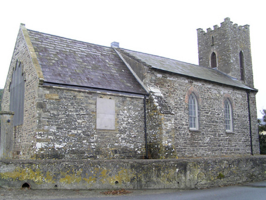 church/chapelchurch/chapel · 340 yd
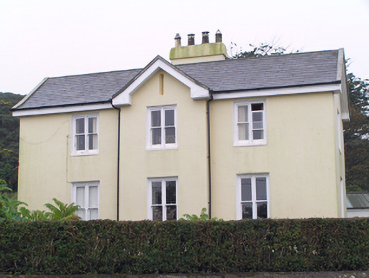 Glebe Houserectory/glebe/vicarage/curate's house · 360 yd
 Ch (Site of)Church · 611 yd
 Mary StandfordMemorial · 1036 yd
 P.N.L.B. Mary StandfordWreck · 1060 yd
 Ballycotton Island (Small)Islet · 1.1 mi
 Ballycotton IslandIslet · 1.5 mi
 Garryvoe BeachBeach / strand · 1.8 mi
 Garryvoe Castle (in Ruins)Castle, tower house · 3.1 mi
 CastleCastle, tower house · 3.5 mi
 Ballycroneen BeachBeach / strand · 4.2 mi