What is recorded here
No human body is visible in the chamber, yet the fort still breathes. The floor tilts slightly downward toward the hidden door, and the walls hold warmth long after sunset. What is absent is not dead; it has simply stopped being human enough to show. The fort is waiting for a mind that can recognize the shape of what is missing.
Internal diam. 26m NW-SE, c. 17.5m NE-SW
This considerably modified univallate rath lies in level pastureland on the N side of the tidal estuary of the Ferta river. It is shown on the first edition of the OS map as a circular enclosure abutting a field boundary at W. This boundary had been removed by the 1890s, when the site is depicted on the second edition map as a subrectangular outline truncated by a field boundary at E.
In its present form the rath consists of a subrectangular enclosure defined at N and S by its original bank and at E and W by modern boundaries. The original bank, with a slate core, measures .9m high externally on average and survives to a maximum height of 1.7m at SW. It is 2.5m wide and averages no more than .5m high internally. Two adjoining huts occupy the NW sector of the site's interior. That at N (KE079-030002-) is circular in plan and is poorly preserved. It measures 5.8m in internal diameter and some stone facing is visible externally at NW along its gapped outline. A gap at E, .8m wide, may represent the entrance. There is an accumulation of stone collapse between this hut and the inner face of the banks at N and W. The hut at S (KE079-030003-) is square in plan and measures 5m internally. It features stone facing beneath its sod-covered walls, and the entrance at E measures 1.4m wide.
The entrance to a stone-built Man-made underground passage (KE079-030001-) occurs in the external face of the modified bank at W. A passage appears to run N, but a collapsed lintel prevents entry.
The above description is derived from A. O'Sullivan and J. Sheehan (compilers), 'The Iveragh peninsula: an archaeological survey of South Kerry'. Cork University Press (1996), no. 455. In certain instances the entries have been revised and updated in the light of recent research.
Date of upload: 28 July 2013
The monument record does not grant public access. Check the route and ask the landowner before entering private land.
- What survives
- Recorded monument
Places near here
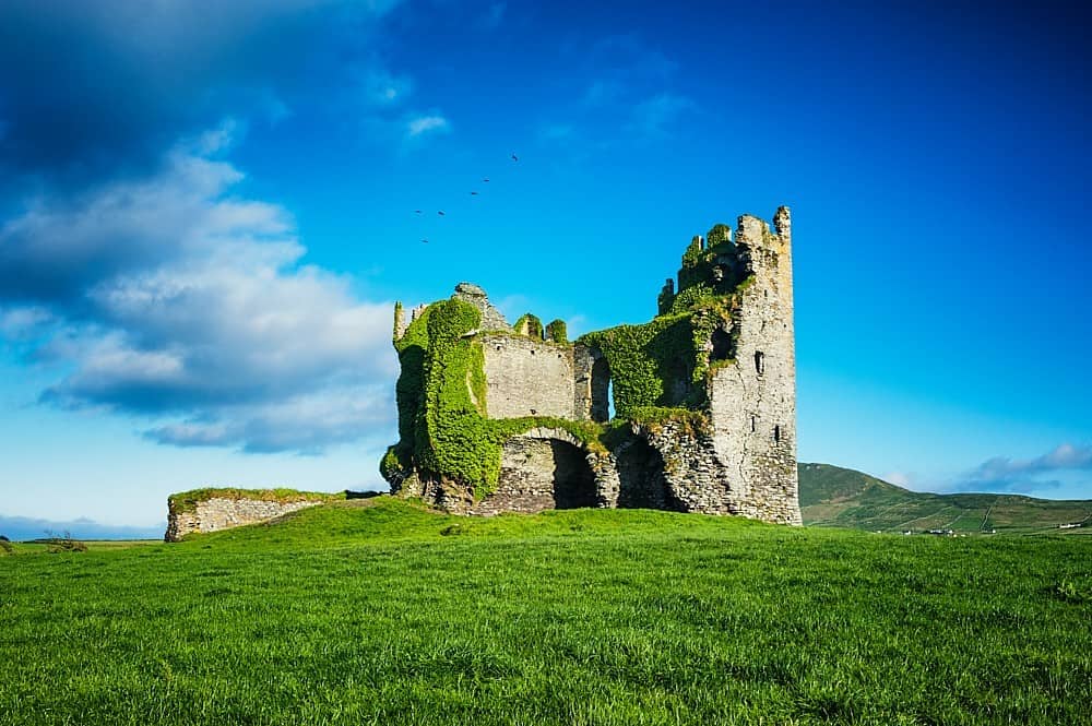 Hut site in Ballycarbery WestHut site · 13 yd
 Ballycarbery Castle (in ruins)Castle, hall-house · 624 yd
 CastleCastle, unclassified · 624 yd
 Ballycarbery CastleRuins · 630 yd
 White Strand BeachBeach / strand · 896 yd
 CahergalFairy fort / stone ringfort · 1154 yd
 Foughil IslandIslet · 1355 yd
 KilnKiln, corn-drying · 1440 yd
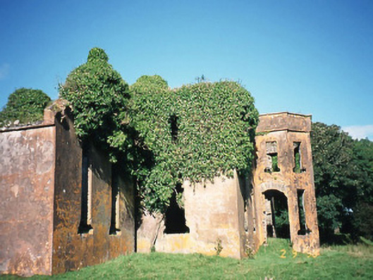 Castlequincountry house · 1.4 mi
 Beginish IslandIsland · 1.7 mi
 Killelan MountainMountain / peak · 1.8 mi
 BenteeMountain / peak · 2.4 mi