What is recorded here
Fairy fort in Ballycahill, Garryad and Garryduff is a large earthen ringfort on a Galway rise, its two banks and ditch still marking a subcircular space sixty-four metres wide. People may have lived there, buried their dead there, or simply avoided it because the ground looked like a fortress built for somebody else. What is certain is that human hands shaped the land into a boundary, and the boundary has outlasted the names of everyone who made it.
On a rise in undulating grassland. Poorly preserved subcircular rath (64m E-W; 57m N-S) defined by two banks and an intervening fosse. The inner bank survives from NW through E to SSW; elsewhere a scarp forms the enclosing element. The fosse is visible from N through E to
SE, and the outer bank from W through N to NE.
Compiled by: Galway Archaeological Survey, UCG
Date of upload: 13 October 2016
The monument record does not grant public access. Check the route and ask the landowner before entering private land.
- What survives
- Recorded monument
Places near here
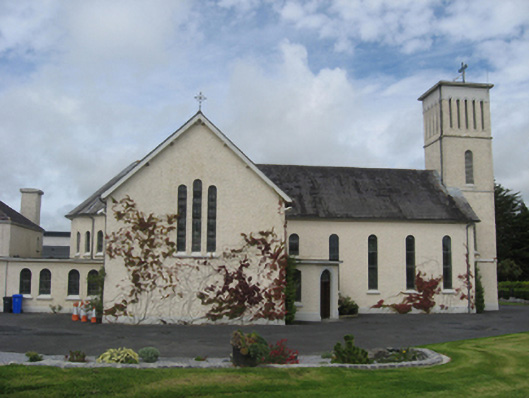 Saint Joseph's Catholic Churchchurch/chapel · 278 yd
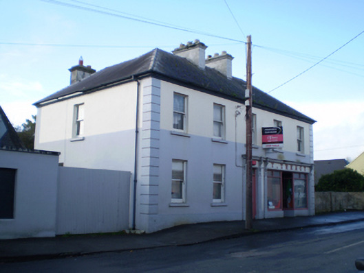 T. Treacyhouse · 404 yd
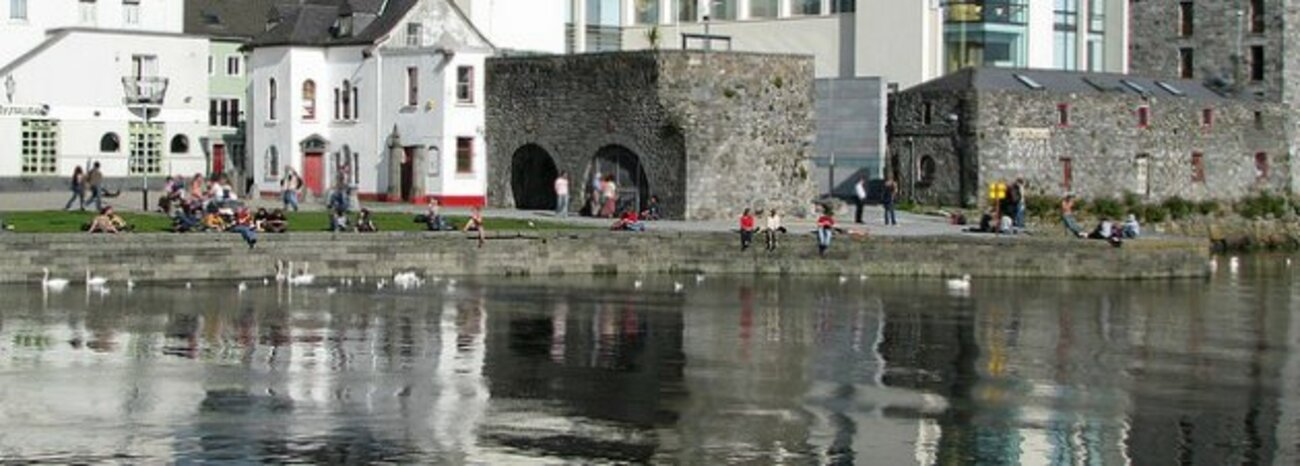 IndicatedEnclosure · 612 yd
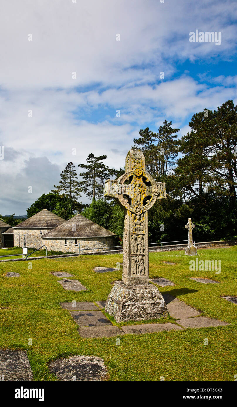 Site of CrossCross · 1151 yd
 Site of CastleCastle, unclassified · 2.4 mi
 Church HillMountain / peak · 3.1 mi
 Quarryhill WoodWood · 3.8 mi
 Bog WoodForest · 3.9 mi
 Pallas CastleCastle, tower house · 3.9 mi
 Portumna Castlegate lodge · 5.7 mi
 Portland IslandIsland · 5.8 mi
 Sallow IslandIsland · 5.9 mi