What is recorded here
Fairy fort in Ballycahalan, County Galway: a subcircular earthen ringfort on a grassy hillock, about fifty metres north-south and forty east-west, with a rectangular hollow south of the bank that may mark quarrying. People may have lived there, or taken stones from it, or simply walked past and called it a fairy fort because the shape appeared without explanation. The hill holds both possibilities at once, human and unnatural, remembering the place through contradiction rather than certainty.
On the crest of a hillock in grassland. This subcircular rath (c. 50m N-S; c. 40m E-W), in fair condition, is defined by an eathen bank. A rectangular hollow (L 11.3m; Wth 7.3m) immediately outside it at S could be the result of quarrying.
Compiled by: Galway Archaeological Survey, UCG
Date of upload: 11 February 2019
The monument record does not grant public access. Check the route and ask the landowner before entering private land.
- What survives
- Recorded monument
Places near here
 IndicatedFairy fort / earthen ringfort · 820 yd
 CastleCastle, unclassified · 981 yd
 Bawn in BallyconnellBawn · 1133 yd
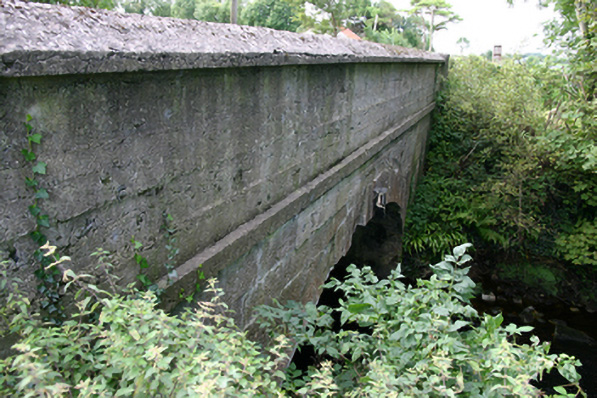 bridgebridge · 1485 yd
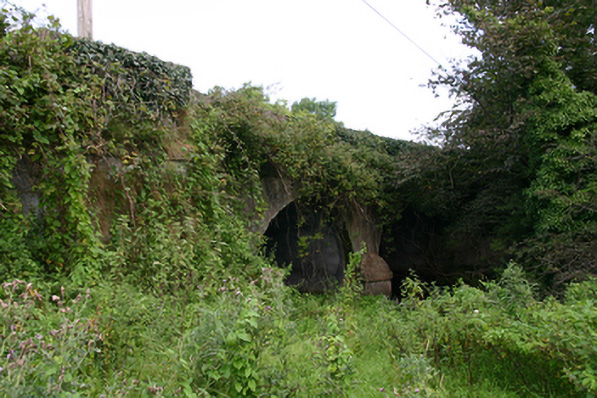 Cloon Bridgebridge · 1661 yd
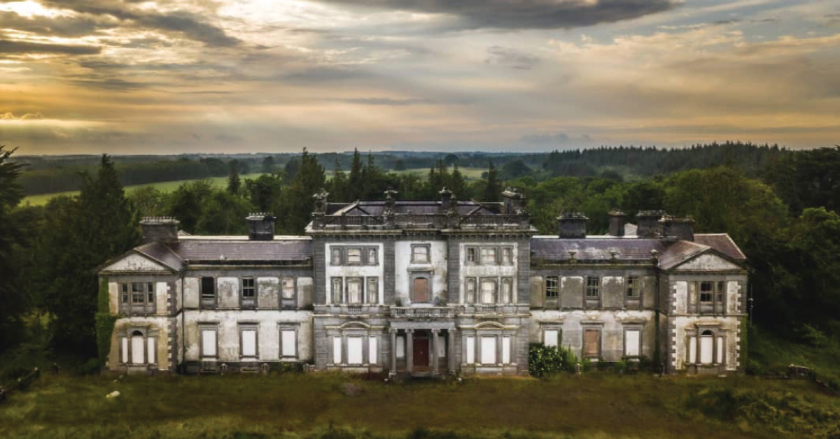 Enclosure in Doonally WestEnclosure · 1.2 mi
 European ashEuropean ash · 2.7 mi
 HawthornHawthorn · 2.7 mi
 Holly IslandIslet · 3.6 mi
 Castle IslandIsland · 3.8 mi
 KnockapollboyMountain / peak · 4.5 mi
 KnocknarebanaMountain / peak · 4.5 mi