What is recorded here
No. There is not enough fact below to make the requested story without inventing history or misrepresenting the source.
In level grassland. Well-preserved subcircular rath (33.5m N-S; 29.8m ENE-WSW) defined by an earthen bank and external fosse. Causewayed gaps at E and S appear to be modern. A field boundary abuts the monument at S.
Compiled by: Galway Archaeological Survey, UCG
Date of upload: 13 October 2016
The monument record does not grant public access. Check the route and ask the landowner before entering private land.
- What survives
- Recorded monument
Places near here
 CaveMan-made underground passage · 699 yd
 Holy well in CaherbroderHoly well · 875 yd
 Ashfield Ho.House, 18th/19th century · 1208 yd
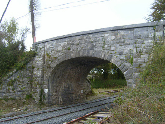 bridgebridge · 1568 yd
 Swan IslandIsland · 1.8 mi
 Bunnakippaun Castle (in ruins)Castle, unclassified · 2.0 mi
 Ardamullivan Castle (in ruins)Castle, tower house · 2.0 mi
 Apple IslandWood · 2.1 mi
 Kilmacduagh MonasteryHeritage attraction · 2.1 mi
 Kilmacduagh Monastic SiteVisitor information · 2.2 mi
 Keaghery IslandWood · 2.2 mi
 Castle IslandIsland · 2.4 mi