What is recorded here
Fairy fort / earthen ringfort in Ballybeg (Two-Mile-Borris parish) is a fairy fort or earthen ringfort in Ballybeg (Two-Mile-Borris parish), County Tipperary, Ireland. The site occupies a northeast-facing slope just below a hill summit, where a raised circular platform rises 1.7 to 2.7 metres above the surrounding ground. A shallow outer ditch, 2 metres wide and 0.3 metres deep, remains visible in slight traces, while a possible entrance faces north. The eastern sector has been quarried away, and heavy vegetation now obscures possible traces of an enclosing inner bank.
Situated just below the summit of a hill on a NE-facing slope of rising ground. A raised circular platform defined by a scarp (H 1.7-2.7m) with slight traces of a shallow outer fosse (Wth 2m; D 0.3m) and a possible entrance at N. The E sector of the platform has been quarried away as indicated on the current edition OS 6-inch map. Possible traces of an enclosing inner bank are now obscured by a heavy cover of vegetation.
The above description is derived from 'The Archaeological Inventory of County Tipperary. Vol. 1 - North Tipperary' compiled by Jean Farrelly and Caimin O'Brien (Dublin: Stationery Office, 2002). In certain instances the entries have been revised and updated in the light of recent research.
Date of upload/revision: 22 September 2008
The monument record does not grant public access. Check the route and ask the landowner before entering private land.
- What survives
- Recorded monument
Places near here
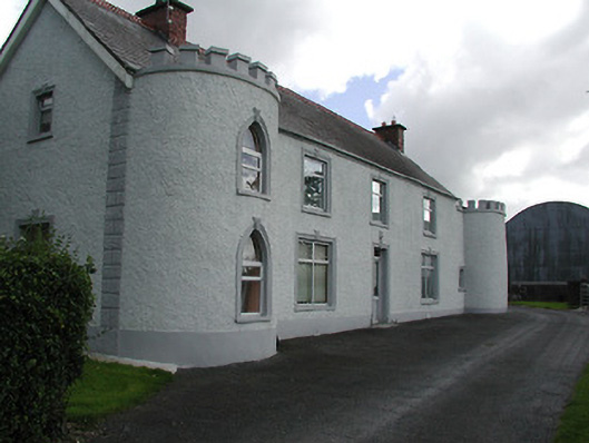 Castle Viewhouse · 1002 yd
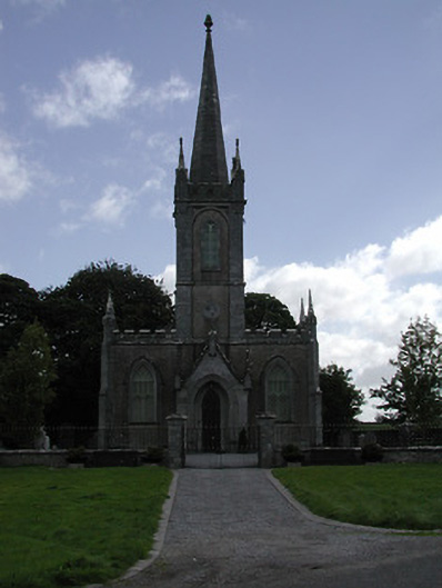 Saint Mary's Church (Twomileborris)church/chapel · 1244 yd
 Sweet ChestnutSweet Chestnut · 1284 yd
 Ballydavid CastleCastle · 1303 yd
 Ballybeg CastleCastle · 1450 yd
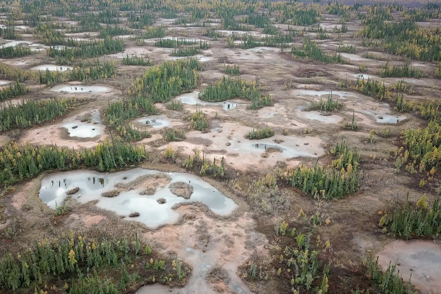 PlatformPlatform, peatland · 1499 yd
 Ballydavid FortFairy fort / earthen ringfort · 1542 yd
 European ashEuropean ash · 1.9 mi
 Derrynaflan TrailHeritage attraction · 1.9 mi
 Horse and JockeyVisitor information · 2.5 mi
 Gobban Saer's GraveArchaeological place · 2.9 mi
 Gift Horse GalleryGallery · 2.9 mi