What is recorded here
Under Ballybaun soil, a 56.7-metre ring of two banks and a ditch waits for eyes sharp enough to follow its line. Men with ploughs and rollers believed they were freeing land for grain, but they were only teaching the fortress to hide inside rain-shadow and crop colour. The barrow sits forty metres east-southeast like a sentinel stripped of its tower, while the fort breathes through the fields in seasons when moisture pulls its outline into view. What was taken from the surface has not been taken from the place; it has moved into the part of reality that does not answer to ownership.
In reclaimed farmland. Classified by McCaffrey (1952, 211, no. 54) as a circular ‘Earthen fort’ (diam. 56.7m) defined by two earthen banks and an intervening fosse. Apparently levelled during field-clearance operations. No visible surface trace survives. However, its ouline is clearly visible as a cropmark on aerial imagey taken in 2018 (Google 2019). There is a ring-barrow (GA104-020----) c. 40m to ESE.
Compiled by: Galway Archaeological Survey, UCG
Updated by: Olive Alcock
Date of revised upload: 9 August 2019
The monument record does not grant public access. Check the route and ask the landowner before entering private land.
- What survives
- Recorded monument
Places near here
 CaveMan-made underground passage · 446 yd
 Dermot & Grania's BedArchaeological place · 1052 yd
 Killogilleen Church (in ruins)Church · 1496 yd
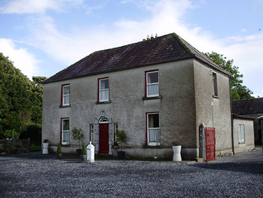 Carheen Househouse · 1745 yd
 Cregg Castle (in ruins)Castle, tower house · 1.1 mi
 CarnanthomasCastle, unclassified · 1.4 mi
 Blake's IslandIslet · 4.0 mi
 Ash IslandIslet · 4.3 mi
 Moyard WoodWood · 4.6 mi
 Kilcornan ForestWood · 7.5 mi
 KnocknarebanaMountain / peak · 8.9 mi
 Drumacoo Monastic SiteHeritage attraction · 9.0 mi