What is recorded here
In pasture, at foot of S facing slope; area immediately to S and E low-lying and poorly drained with remains of shallow quarry now covered by scrub and thorn. A roughly circular raise platform (27.2m N-S; 33m E-W) defined by a scarped edge (H 0.2m; Wth 2m). The enclosing element varies in nature due to the sloping ground against which it is built. On N side in an intervening fosse (Wth 2m) and an external bank (H 0.95m; Wth 2.2m), whereas on SE side is a second (H 1.2m; Wth 2m) and third (H 1.3m; Wth 2m) scarped edge. There is a very slight indication of an external fosse (Wth c. 3m; D c. 0.1m) around the entire enclosure. There is no evident entrance of an entrance though a number of paths have been worn through the enclosing element bu cattle. The enclosing element is covered by trees and scrub with some erosion evident from poaching. The interior has a noticeably uneven surface and there is a shallow quarry on its E side (9m x 4m; D 0.8m).
Compiled by: Denis Power
Date of upload: 29 August 2012
A local fairy fort (ringfort/rath); wider significance not recorded.
The monument record does not grant public access. Check the route and ask the landowner before entering private land.
- What survives
- Recorded monument
Places near here
 presbytery/parochial/curate's housepresbytery/parochial/curate's house · 131 yd
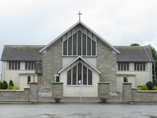 Saint Michael's Catholic Churchchurch/chapel · 155 yd
 Gobnet's FortArchaeological place · 486 yd
 Saint Derivla's WellSpring · 629 yd
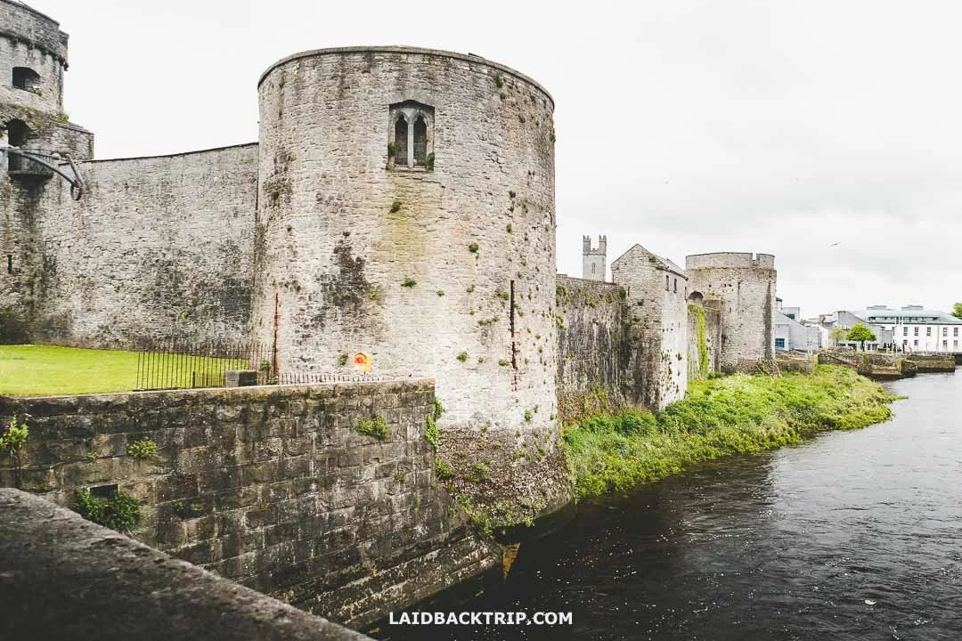 Cooreagh Fort - HachuredFairy fort / earthen ringfort · 1.0 mi
 Our Lady's WellSpring · 1.6 mi
 Castle (in ruins)Castle, hall-house · 1.7 mi
 IndicatedCastle, motte · 1.7 mi
 KnockfeerinaMountain / peak · 4.9 mi
 Famine stoneMemorial · 5.1 mi
 Holy Cross CemeteryGraveyard · 5.9 mi
 National Co-op MuseumMuseum · 6.7 mi