What is recorded here
Fairy forts are not places where people should sleep because the boundary between the visible world and the hidden world becomes thin there. The fort in Ballinvulla is an earthen ring in pasture land, but its name preserves the older warning that it belongs to the unseen.
In reclaimed pasture, on E-facing slope. Roughly circular area (28m N-S; 29.5m E-W) enclosed by earthen bank (int. H 0.5m; ext. H 1.6m) N->SSW and defined by scarped edge (H 0.35m; Wth 3.15m) SSW->N, with external fosse (D 0.2m: Wth 1.9m) NE->SSW and SW->NW. Bank is covered in places by fallen trees. Fosse clipped slightly by field boundary a NW. Interior under pasture and slopes down to E; surface has been churned up by sheep who are fed here.
Compiled by: Denis Power
Date of upload: 26 August 2011
The monument record does not grant public access. Check the route and ask the landowner before entering private land.
- What survives
- Recorded monument
Places near here
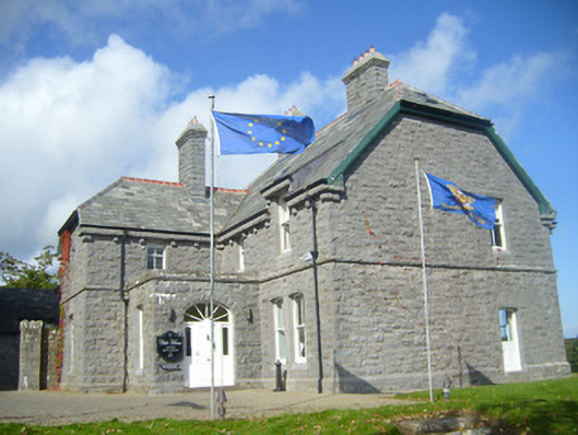 Rathgoonan Housecountry house · 961 yd
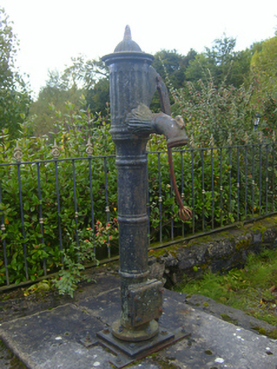 water pumpwater pump · 1109 yd
 IndicatedFairy fort / earthen ringfort · 1305 yd
 Mound in Ballyegny BegMound · 1318 yd
 St. Luke's WellSpring · 1681 yd
 Castle (in ruins)Castle, tower house · 1.2 mi
 CahermoyleCastle, unclassified · 1.2 mi
 St. Kieran's WellSpring · 1.2 mi
 European ashEuropean ash · 3.9 mi
 Limerick GreenwayWalking route · 6.5 mi
 Gammarel PointHeadland · 7.3 mi
 Monterey CypressMonterey Cypress · 7.7 mi