What is recorded here
Fairy forts in west Cork are often small, double-walled and easily overlooked. Ballinvrinsig fits that shape: a 34m circular earthwork on a north-facing slope, with two banks, a fosse between them and ferns thick inside. The field boundary still curves around it, as if people remembered the hole in the land before they understood what it held.
In tillage, on N-facing slope. Circular area (34m N-S; 34m E-W) enclosed by two earthen banks, with intervening fosse. Inner bank (int. H 1m) heavily overgrown with ferns similar to interior; outer bank (H 1.6m), berm (Wth 2m) on inside S->WNW. Field boundary to S curves to respect site, possibly following outer line of fosse.
The above description is derived from the published 'Archaeological Inventory of County Cork. Volume 2: East and South Cork' (Dublin: Stationery Office, 1994). In certain instances the entries have been revised and updated in the light of recent research.
Date of upload/revision: 14 January 2009
The monument record does not grant public access. Check the route and ask the landowner before entering private land.
- What survives
- Recorded monument
Places near here
 Enclosure in BallinvoultigEnclosure · 638 yd
 Grave YdGraveyard · 946 yd
 sign postsign post · 1329 yd
 viaduct city viewViewpoint · 1332 yd
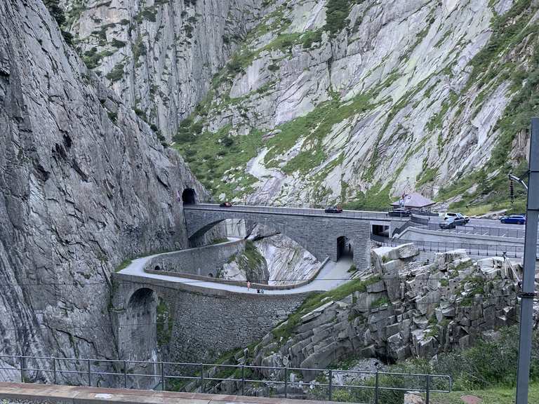 Monument WaterfallMonument · 1381 yd
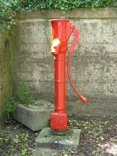 water pumpwater pump · 1425 yd
 waterfallVisitor information · 1478 yd
 Caslte (Site of)Castle, unclassified · 1541 yd
 Rumley's Open FarmHeritage attraction · 1616 yd
 Graveyard in BallynoraGraveyard · 1.2 mi
 Sunday WellSpring · 1.8 mi
 Lavitts QuayMemorial · 4.6 mi