What is recorded here
Mortons and others may have built the fort, but the fairies took it over. They fly at dawn and dusk, carry stones and soil, and shape the ring to their wishes. People who live near the fort see lights moving in the dark and hear music floating from the grass. The fairies do not hide from everyone. They show themselves to those who respect the place and leave it alone.
Located at the crest of a NW-facing slope in the N foothills of Slieve na Calliagh ridge. This is a circular grass-covered area (diam. 42m ENE-SW; 38.5m NNW-SSE) defined by a slight earth and stone bank (Wth of base 3.5-5m; int. H 0.3-0.4m; ext. H 0.5m at W to 1.3m at E), with traces of an external fosse (Wth of top 5.5m; ext. D 0.15m) NNE-S. There is an entrance (Wth of base 2.3m) and causeway (Wth of base 6.7m) at SSE and the perimeter is truncated slightly by a NE-SW field wall (L c. 25m) at NW. There is a small subrectangular annexe (dims c. 16m E-W; c. 16m N-S) defined by a curving earthen bank (at W: Wth of base 5m; int. H 0.3m; ext. H 0.5m) and outer fosse (at W: Wth of top 5.5m; ext. D 0.2m) W of the rath but its N extent is also truncated by the NE-SW field wall.
The above description is derived from the published 'Archaeological Inventory of County Meath' (Dublin: Stationery Office, 1987). In certain instances the entries have been revised and updated in the light of recent research.
Compiled by: Michael Moore
Date of revision: 1 November 2018
Amended: 15 December 2022
The monument record does not grant public access. Check the route and ask the landowner before entering private land.
- What survives
- Recorded monument
Places near here
 Enclosure in Ballinvally,drumsawry OR SummerbankEnclosure · 27 yd
 Enclosure in BallinvallyEnclosure · 92 yd
 indicatedChurch · 874 yd
 CastleCastle, unclassified · 887 yd
 LoughcrewMegalithic tomb cemetery · 1210 yd
 Carnbane WestMountain / peak · 1246 yd
 C11Named rock · 1252 yd
 Loughcrew Megalithic TombsHeritage attraction · 1259 yd
 Slieve Na CalliaghMountain / peak · 1355 yd
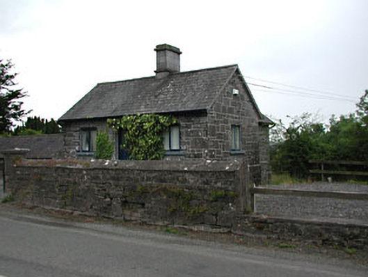 gate lodgegate lodge · 1.4 mi
 Common LimeCommon Lime · 1.5 mi
 European YewEuropean Yew · 1.5 mi