What is recorded here
Fairy fort / earthen ringfort in Ballinure is a fairy fort or earthen ringfort in Ballinure, County Tipperary, Ireland. It occupies a south-east-facing slope below a hilltop summit and contains an irregular area 62 metres north-south and 65 metres east-west. An earth and stone bank encloses this space, standing 1.2 metres high externally and 0.4 metres high internally. A smaller circular enclosure adjoins the main ring at the north-northwest, connected by a six-metre-wide causewayed entrance.
On a SE-facing slope just below summit of hilltop in upland are with good extensive views in all directions. In grassland, field immediately to N has been ploughed at time of visit. Ringfort consists of a slightly raised irregular-shaped area (int. diam. 62m N-S; 65m E-W) enclosed by an earth and stone bank (top Wth 1.2m; base Wth 2.2m; int. H 0.4m; ext. H 1.2m) reduced to a scarp (H 0.5-1m) from NE through E to S, fosse (top Wth 4.5-6m; base Wth 1.5-3m; ext. D 1.7m) and outer bank (top Wth 1.4m; base Wth 2.5m; int. H 0.4m; ext. H 0.5m). The inner bank, fosse and outer bank are only visible on the upslope from SW through W to N and NE, elswhere the inner bank has been reduced to a scarp and fosse and outer bank is not visible. At NNW there is a smaller circular enclosure (TS053-029001-) adjoining the larger enclosure and accessed via a causewayed entrance (Wth 6m) from the larger enclosure at NNW. No evidence of a separate external entrance into larger enclosure. The interior slopes from W to E following natural slope on top of which the monument is located.
Compiled by: Jean Farrelly
Date of upload: 26 August 2011
The monument record does not grant public access. Check the route and ask the landowner before entering private land.
- What survives
- Recorded monument
Places near here
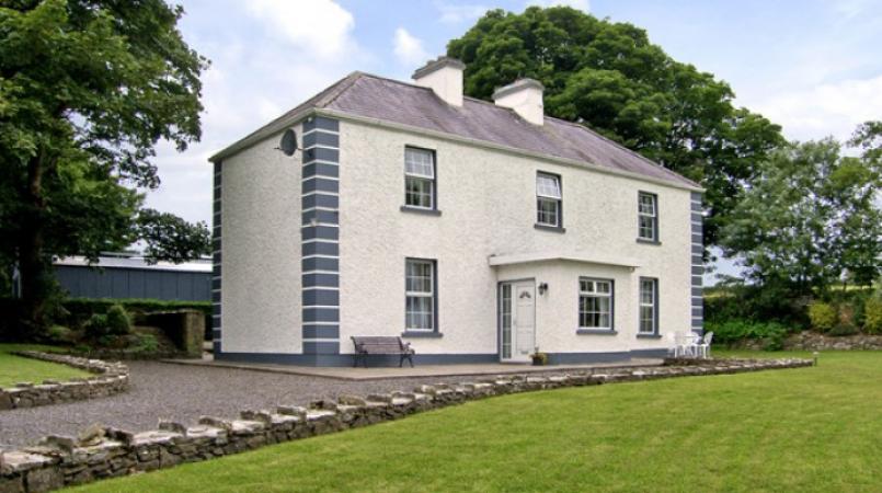 Enclosure in Grallagh (graystown Par.)Enclosure · 970 yd
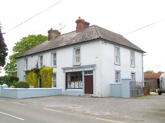 M. Dwyerhouse · 1395 yd
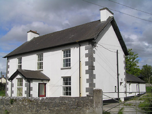 Ballinure Garda Síochána Stationgarda station/constabulary barracks · 1416 yd
 IndicatedFairy fort / earthen ringfort · 1.1 mi
 Ballinure HillMountain / peak · 1.3 mi
 Noan WoodWood · 1.3 mi
 Grallagh CastleCastle · 1.4 mi
 Taylor's WoodWood · 1.4 mi
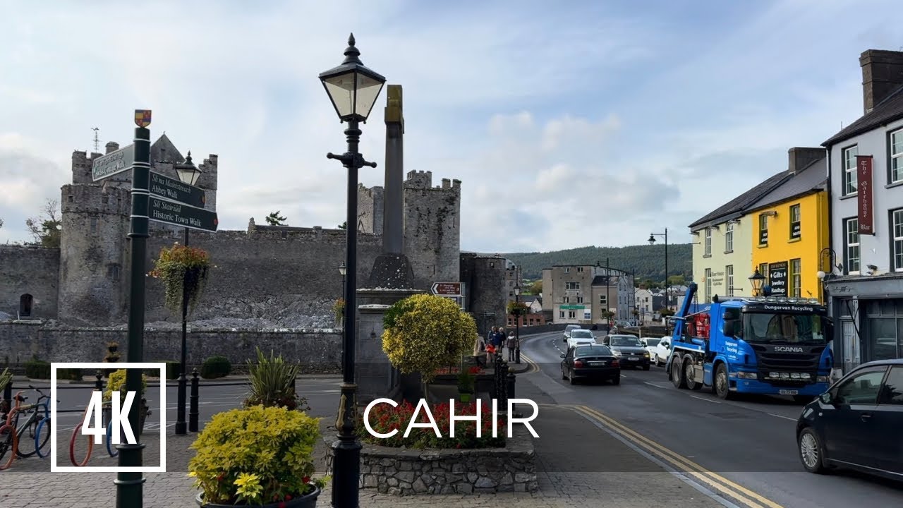 Bawn in ErryBawn · 2.1 mi
 Gobban Saer's GraveArchaeological place · 2.3 mi
 Horse and JockeyVisitor information · 2.6 mi
 Gift Horse GalleryGallery · 2.8 mi