What is recorded here
Fairy fort / earthen ringfort in Ballintubbrid is a circular earthwork in County Limerick, Ireland. It has an earthen bank, scarped edge, external fosse and two gaps at east and west. The interior is level, dry and clear, while the surrounding pasture remains ordinary. That contrast makes the site feel like a room set aside inside a common field.
In level pasture. Circular area (33.2m N-S; 35m E-W) enclosed by earthen bank (int. H 0.95m; ext. H 1.5m) S->NW, and defined by scarped edge (H 1.5m; Wth 3.3m) NW->S. External fosse (D 0.8m; Wth 2.1m) encloses entire site. Gaps in bank (Wth 1.5m) at E and W. Interior level, dry and clear of overgrowth.
Compiled by: Denis Power
Date of upload: 26 August 2011
A fairy fort or earthen ringfort in Ballintubbrid, likely dating to the early medieval period, is a circular enclosure with an earthen bank and external fosse, typical of ancient Irish settlement or defensive structures. Local folklore may associate it with the fairy folk, as its name suggests, though specific traditions are not recorded.
The monument record does not grant public access. Check the route and ask the landowner before entering private land.
- What survives
- Recorded monument
Places near here
 Holy well in Ballyshane (glenquin By.)Holy well · 775 yd
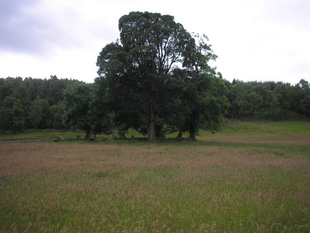 Burial GroundGraveyard · 1475 yd
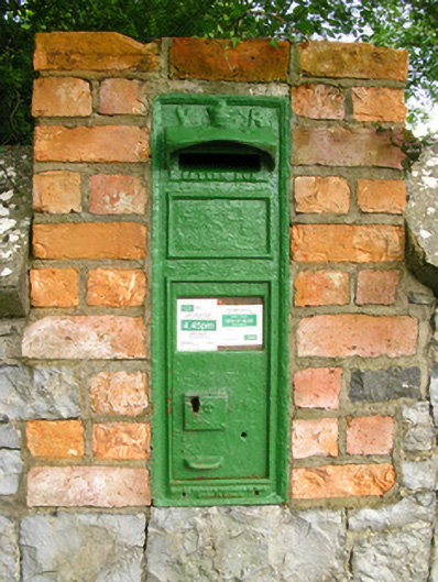 post boxpost box · 1644 yd
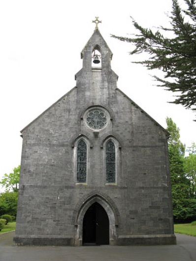 Saint Mary's Catholic Churchchurch/chapel · 1644 yd
 Templars Castle (in ruins)Castle, Anglo-Norman masonry castle · 1.9 mi
 Limerick GreenwayWalking route · 2.8 mi
 Glenquin CastleCastle · 3.2 mi
 Sugar HillMountain / peak · 3.3 mi
 Saint Ite's WellSpring · 3.4 mi
 TobereenalaffinaSpring · 3.9 mi
 Ballagh MountainMountain / peak · 4.5 mi
 Lawson's CypressLawson's Cypress · 8.2 mi