What is recorded here
Fairy fort in Ballintubbrid, County Limerick: a 44-metre earthen ring with a shallow outer ditch, a three-and-a-half-metre gap at the east-north-east, and a level dry interior marking a small ancient dwelling or exclusion boundary. Cattle graze around it now, and the scarped eastern bank suggests long neglect rather than sudden ruin. The round shape resists forgetting because it is still visible in the field, not buried beneath a road or a town.
In pasture, on gentle NW-facing slope. Circular area (43.5m N-S; 44.5m E-W) enclosed by earthen bank (int. H 0.9m; ext. H 1.1m) with an external fosse (D 0.4m; Wth 2.35m). Entrance (Wth 3.5m) at ENE. Bank is eroded to a scarped edge E->ESE. Gaps (Wth 2.5m) in bank at W and NW. Field boundary truncates fosse at N; fosse infilled with dumped earth NNW->NNE. Interior level, dry and clear of overgrowth; there is a circular depression (diam. 3.1m; D 0.3m) in SW quadrant.
Compiled by: Denis Power
Date of upload: 26 August 2011
The monument record does not grant public access. Check the route and ask the landowner before entering private land.
- What survives
- Recorded monument
Places near here
 Holy well in Ballyshane (glenquin By.)Holy well · 1166 yd
 Enclosure in BallymackesyEnclosure · 1.0 mi
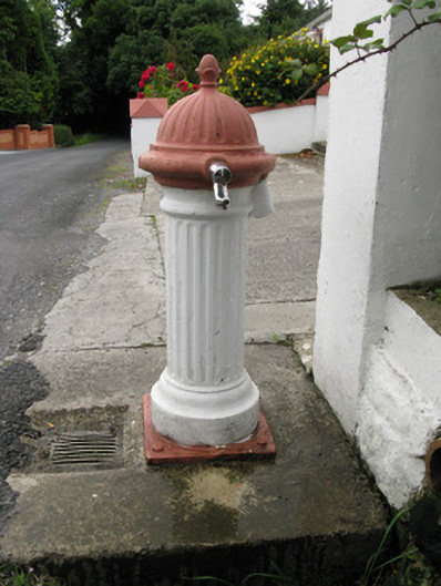 water pumpwater pump · 1.2 mi
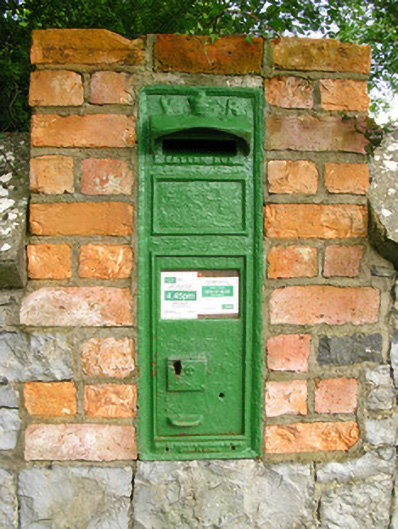 post boxpost box · 1.3 mi
 Templars Castle (in ruins)Castle, Anglo-Norman masonry castle · 1.6 mi
 Limerick GreenwayWalking route · 2.5 mi
 Sugar HillMountain / peak · 3.2 mi
 Glenquin CastleCastle · 3.6 mi
 Saint Ite's WellSpring · 3.8 mi
 TobereenalaffinaSpring · 4.1 mi
 Ballagh MountainMountain / peak · 4.9 mi
 Lawson's CypressLawson's Cypress · 8.0 mi