What is recorded here
Fairy fort / earthen ringfort in Ballintotty is a fairy fort or earthen ringfort in Ballintotty, County Tipperary, Ireland. It occupies a south-facing slope beside an east-west ridge in pasture and tillage. The enclosure measures 71.4 metres north-south and 58.8 metres east-west, with a scrub-covered bank standing 1.35 metres high and a flat-bottomed external ditch 4.3 metres wide and 1 metre deep. The ditch is less evident at the west and is not visible at the north.
Situated on a S-facing slope, just off the crest of an E-W ridge, in pasture/tillage. A large enclosure (diam. 71.4m N-S; 58.8m E-W) defined by a bank, largely reduced to a scarp (H 1.35m) and overgrown with scrub, and a wide, flat-bottomed external fosse (Wth 4.3m; D 1m). The fosse is less evident at W and is not visible at N.
The above description is derived from 'The Archaeological Inventory of County Tipperary. Vol. 1 - North Tipperary' compiled by Jean Farrelly and Caimin O'Brien (Dublin: Stationery Office, 2002). In certain instances the entries have been revised and updated in the light of recent research.
Date of upload/revision: 22 September 2008
A large earthen ringfort in Ballintotty, likely dating to the early medieval period, is characterized by a substantial bank and ditch, now largely reduced to a scarp. Local tradition refers to it as a "fairy fort," reflecting the common Irish belief in such sites as dwellings of the faé or ancient inhabitants.
The monument record does not grant public access. Check the route and ask the landowner before entering private land.
- What survives
- Recorded monument
Places near here
 Enclosure in BallintottyEnclosure · 484 yd
 Settlement desertedSettlement deserted, medieval · 512 yd
 Ballintotty Castle (in ruins)Castle, tower house · 523 yd
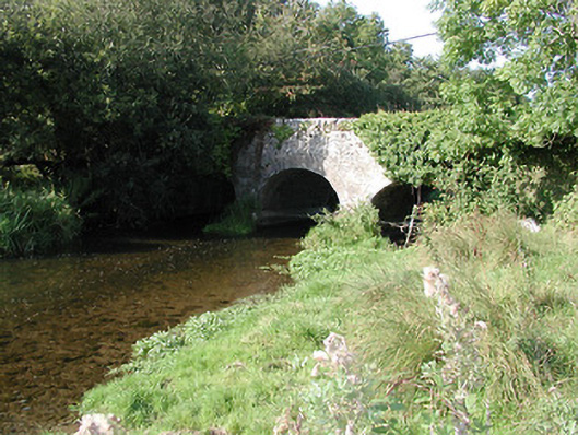 Rathurles Bridgebridge · 1334 yd
 Islandbawn Millsmill (water) · 1459 yd
 Rathurles CastleCastle · 1549 yd
 Gibbet HillMountain / peak · 2.1 mi
 James Devaney MemorialMemorial · 2.5 mi
 Old BarracksHeritage attraction · 2.7 mi
 Nenagh Heritage CentreMuseum · 2.9 mi
 Knockacraheen HillMountain / peak · 4.3 mi
 Ballycapple WoodForest · 4.6 mi