What is recorded here
Fairy forts are misnamed; people built them. In Ballintogher a wide earthen bank still marks the oval boundary, and a small stone-lined basin sits outside the southeast curve. The shape changed on later maps, but the earth remembers the hands that moved it.
This univallate rath appears on the 1841-42 map as a circular enclosure but by the later edition of 1914-15 its shape had been altered to oval. A bohareen runs immediately to the N. This oval area is enclosed by a low, wide earthen bank which averages 5.6m in width at the base and rises to .8m above the surrounding land and 1m above the interior. In the SE sector of the enclosing bank, on the exterior side, there is a semi-circular area, with its in-curve facing the surrounding land. It would appear to be stone lined and measures 3.6m N-S internally, .5m deep and has a 1.2m wide opening.
The above description is derived from Toal C. (compiler) ‘The North Kerry Archaeological Survey’. Brandon in association with FAS Training and Employment Authority. (1995) no. 600. In certain instances the entries have been revised and updated in the light of recent research.
Date of upload: 18 June 2013
The monument record does not grant public access. Check the route and ask the landowner before entering private land.
- What survives
- Recorded monument
Places near here
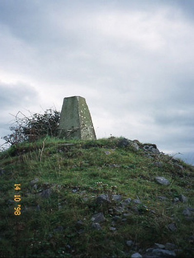 FitzMaurice Monumentmonument · 614 yd
 Enclosure in Clogher (clanmaurice By., Lixnaw Ed)Enclosure · 1151 yd
 Ecclesiastical enclosure in BallynagareEcclesiastical enclosure · 1243 yd
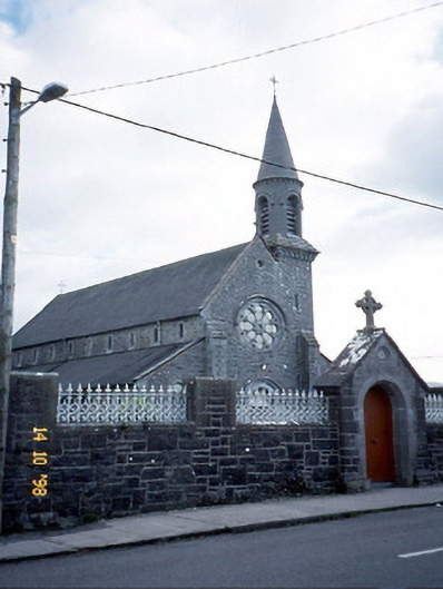 Saint Michael's Catholic Churchchurch/chapel · 1436 yd
 CastleCastle, Anglo-Norman masonry castle · 1.3 mi
 Kilflynn Nature ReserveNature reserve · 4.5 mi
 Listowel Castle (in ruins)Castle, tower house · 5.3 mi
 Kerry Writers' MuseumMuseum · 5.3 mi
 Bryan MacMahonMemorial · 5.3 mi
 Lartigue MonorailMuseum · 5.3 mi
 John B. Keane GroveMemorial · 5.4 mi
 Stack's MountainMountain / peak · 6.4 mi