What is recorded here
Half a century of rain has shaved the fort to a low scar, yet the western bank still stands tall enough to break a falling body. Inside that broken circle lies a mouth for the labyrinth Ashe measured, a dark throat where human bones may still tangle with forgotten road. The Anascaul valley glitters below like water held back by a forgotten hand. What the fort excluded is no longer certain, but the ground remembers the shape of the boundary and waits for someone reckless enough to ask it back.
Internal diam. c. 31.5m E-W.
A circular univallate rath KE045-061---- situated on a fairly level tract of land overlooking the Anascaul valley to NW. The earthen enclosing bank survives only in the NE and W quadrants. It is a maximum of 1.3m high externally and .6m high internally, and is c. 2.2m wide at base. Around the remainder of the perimeter the enclosure is defined by a low scarp, no more than .5m high. There are faint traces of a fosse along the NE quadrant. A small depression directly inside the bank at W marks the entrance to the Man-made underground passage KE045-061001- which Ashe (1954, 21) described as 'a very extensive labyrinth of subterranean passages'.
The above description is derived from J. Cuppage, ‘Corca Dhuibhne. Dingle Peninsula archaeological survey. Ballyferriter. Oidhreacht Chorca Dhuibhne’ (1986), no. 307. In certain instances the entries have been revised and updated in the light of recent research.
Date of upload: 6 August 2013
The monument record does not grant public access. Check the route and ask the landowner before entering private land.
- What survives
- Recorded monument
Places near here
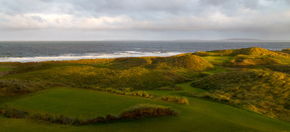 Man-made underground passage in BallintermonMan-made underground passage · 14 yd
 Jerome Connor MonumentMonument · 706 yd
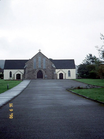 Catholic Church of the Sacred Heartchurch/chapel · 1111 yd
 Brackloon Lodgehotel · 1132 yd
 Statue of Our LadyHeritage attraction · 1649 yd
 Jerome ConnorMemorial · 1682 yd
 Bunaneer StrandBeach / strand · 1.4 mi
 BrickanyMountain / peak · 1.5 mi
 Graveyard in BallynacourtyGraveyard · 1.7 mi
 Acres PointHeadland · 3.3 mi
 Glanteenassig Forest ParkForest · 3.4 mi
 Knockmulanane West TopMountain / peak · 3.4 mi