What is recorded here
Coniferous trees now crowd the twenty-eight-metre circle where a western scarp still rises two metres above the surrounding ground. The eastern entrance gap remains blocked by field debris, hiding the tiny drystone revetments that once reinforced the inner bank. A later drain cuts through the southern earth, its stones stopping exactly where the ancient wall began. The fort has surrendered much of its shape to vegetation and time, yet the underlying circular intent still emerges through the slope.
Internal diam. 28m.
A circular univallate rath situated on a gentle NW facing slope about 150m to SSW of KE045-053----. Much of the interior is occupied by a plantation of coniferous trees, and the earthen enclosing bank is poorly preserved. Much of the W half of the enclosure is defined by a scarp which rises up to 2.1m to the interior from the external ground level. The bank around the E half of the site is .5 to 1.4m high internally and c. 1.2m high externally. The 3m wide entrance gap at ESE is confused and partly blocked by field clearance debris. For a short distance on either side of the entrance the inner face of the bank is revetted with drystone masonry which survives to a height of only .4m. On the 2nd edition of the OS map a fosse is shown around the E half of the enclosure, but this is no longer discernible. The ditch or drain around the SW half of the enclosure is 3m wide and .6 to 1.4m deep below the external ground level. The external face of the bank on this same SW side is intermittently faced with drystone masonry. This facing stops at the level of the top of the drain suggesting that the latter is a later feature.
The above description is derived from J. Cuppage, ‘Corca Dhuibhne. Dingle Peninsula archaeological survey. Ballyferriter. Oidhreacht Chorca Dhuibhne’ (1986), no. 306. In certain instances the entries have been revised and updated in the light of recent research.
Date of upload: 6 August 2013
The monument record does not grant public access. Check the route and ask the landowner before entering private land.
- What survives
- Recorded monument
Places near here
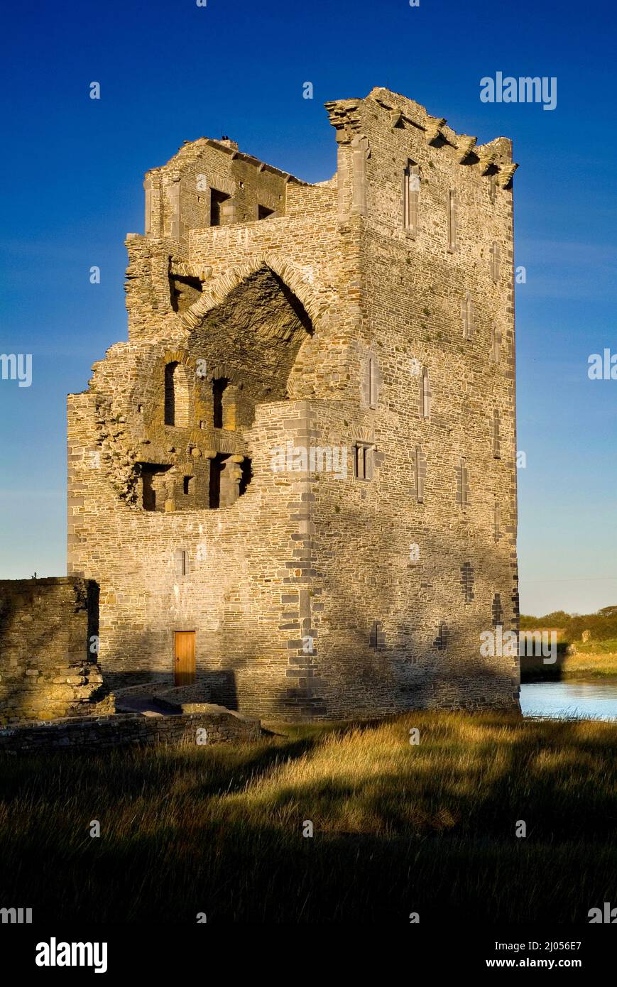 Man-made underground passage in BallintermonMan-made underground passage · 166 yd
 Jerome Connor MonumentMonument · 379 yd
 Brackloon Lodgehotel · 1423 yd
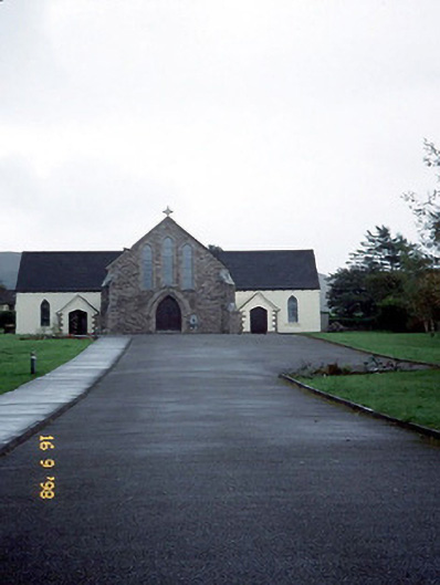 Catholic Church of the Sacred Heartchurch/chapel · 1480 yd
 Statue of Our LadyHeritage attraction · 1.1 mi
 Jerome ConnorMemorial · 1.1 mi
 BrickanyMountain / peak · 1.6 mi
 Graveyard in BallynacourtyGraveyard · 1.7 mi
 Bunaneer StrandBeach / strand · 1.8 mi
 Glanteenassig Forest ParkForest · 3.0 mi
 Knockmulanane West TopMountain / peak · 3.2 mi
 Acres PointHeadland · 3.6 mi