What is recorded here
Magic and imagination are not the same as fact. I should use the supplied facts and exclude invented claims. I should also exclude the discarded background and remain consistent with the visible report.
An earlier report (OPW 1974) described a raised circular area (int. diam. c. 34m) enclosed by a substantial earthen bank and a wide, deep fosse. Break in bank with accompanying causeway at N probably represented original entrance. Site has been levelled. Not visible at ground level.
The above description is derived from the published 'Archaeological Inventory of County Cavan' (Dublin: Stationery Office, 1995). In certain instances the entries have been revised and updated in the light of recent research.
Date of upload/revision: 22 December 2008
The monument record does not grant public access. Check the route and ask the landowner before entering private land.
- What survives
- Recorded monument
Places near here
 Not inidcatedChurch · 339 yd
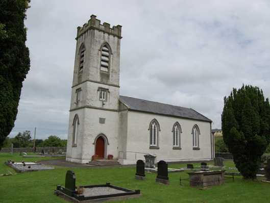 St Patrick’s Church of Ireland Churchchurch/chapel · 384 yd
 BroomhillWood · 1083 yd
 Caldragh (Site of)Church · 1727 yd
 Ardvarny ForestForest · 2.0 mi
 Captain Thomas Sheridan IRAMonument · 2.0 mi
 BellvilleMountain / peak · 2.4 mi
 Ardkill MoreMountain / peak · 2.5 mi
 Giant's GraveArchaeological place · 2.8 mi
 Castle CosbyCastle, unclassified · 3.1 mi
 Carricknagore RockNamed rock · 3.2 mi
 Lismore CastleCastle, unclassified · 3.2 mi