What is recorded here
In gently undulating pasture, located on a low rise, with good views.
This enclosure, possibly a rath, is not shown on 1838 and 1920 OS 6-inch maps.
It consists of a subcircular or broadly oval raised area (34.6m E–W; 28.2m N–S) defined by a scarp (Wth slope 7m, H 1.8m at ENE; Wth slope 2m, H 0.6m at W). The scarp remains well defined at SE–W, but it is lower and more irregular in outline at NW-NE.
The interior slopes gently down from NE to S. The surface is uneven and there are several hollow and irregular sod-covered stony rises in the S half, suggesting past disturbance.
An E–W field wall overlies the base of the scarp at S. It is known locally as a ‘fort’.
Compiled by: Jane O’Shaughnessy
Date of upload: 9 December 2020
The monument record does not grant public access. Check the route and ask the landowner before entering private land.
- What survives
- Recorded monument
Places near here
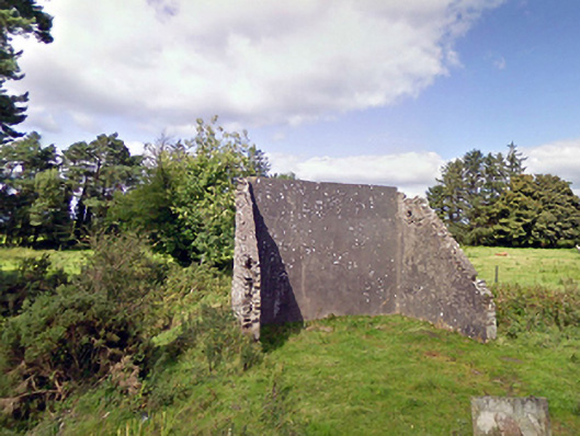 handball alleyhandball alley · 1554 yd
 Cloonfane National Schoolschool · 1.1 mi
 Enclosure in Lavy MoreEnclosure · 1.3 mi
 IndicatedFairy fort / earthen ringfort · 1.5 mi
 Old Cave Burial GroundArchaeological place · 2.0 mi
 Bockagh HillMountain / peak · 5.4 mi
 Casatle (ruins)Castle, unclassified · 7.2 mi
 Crunaun Castle (in ruins)Castle, unclassified · 7.8 mi
 Procession Of The SoulsMemorial · 9.0 mi
 Brabazon WoodsForest · 9.1 mi
 East Mayo Brigade MonumentMemorial · 9.1 mi
 Lough Talt TrailVisitor information · 11 mi