What is recorded here
Fairy forts are human ringforts misnamed by folklore. This is a real rath in County Cork, mapped since 1842 and still standing in aerial photographs. People built it, lived beside it and forgot it, as with most raths. The fairy label is later dressing on a human home.
Depicted as hachured roughly circular enclosure (diam. c. 45m) on 1842 OS 6-inch map; as hachured circular enclosure (diam. c. 35m) on 1905 OS 6-inch map; as hachured circular raised area (diam. c. 20m) enclosed by fosse on 1937 OS 6-inch map. Permission to visit site refused. Upstanding circular enclosure visible in aerial photograph (GSIAP, R651).
The above description is derived from the published 'Archaeological Inventory of County Cork. Volume 4: North Cork' (Dublin: Stationery Office, 2000). In certain instances the entries have been revised and updated in the light of recent research.
Date of upload/revision: 14 January 2009
The monument record does not grant public access. Check the route and ask the landowner before entering private land.
- What survives
- Recorded monument
Places near here
 Mound in BallinlaMound · 372 yd
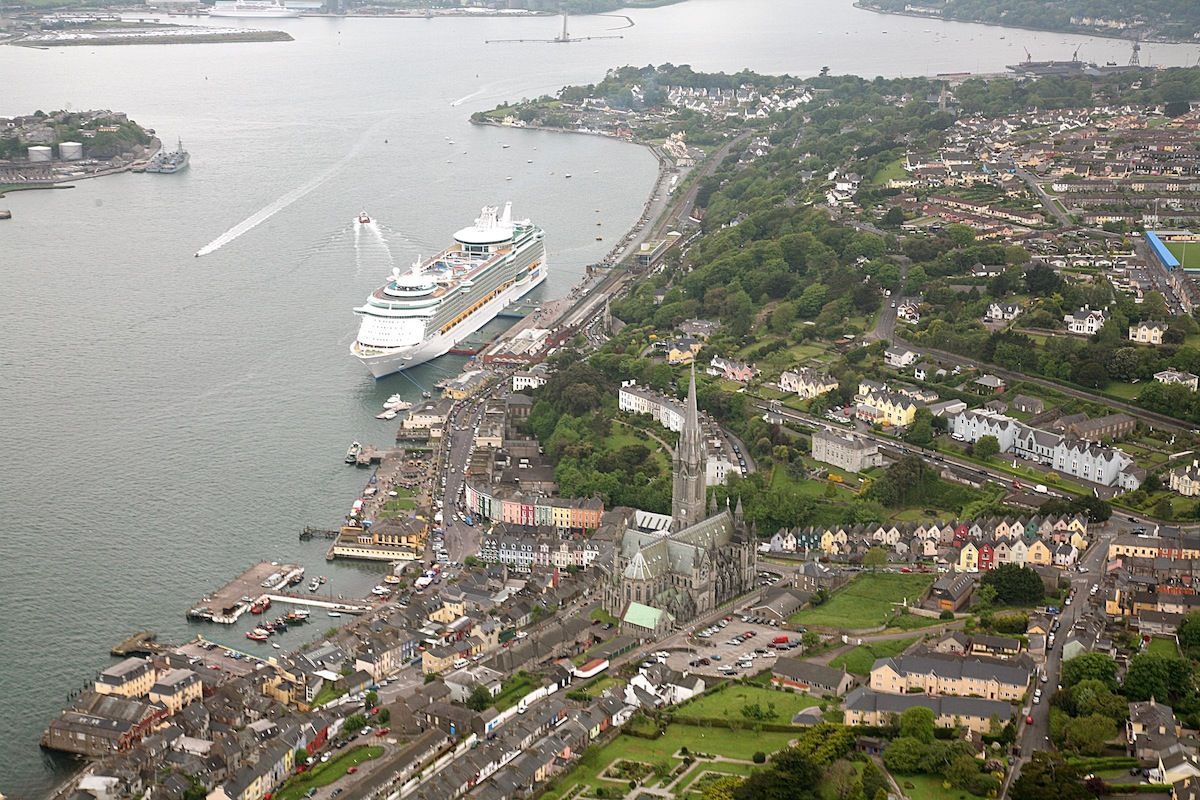 LisnaferneyFairy fort / earthen ringfort · 955 yd
 KilnKiln, lime · 1.1 mi
 St Johns Catholic ChurchChurch · 1.4 mi
 Castle (Site of)Castle, unclassified · 2.5 mi
 Castle LisheenCastle · 2.7 mi
 Battle of LiscarrollMajor battlefield · 2.8 mi
 National Co-op MuseumMuseum · 4.2 mi
 Windmill HillMountain / peak · 4.6 mi
 ToberacappeenSpring · 5.2 mi
 Lady's WellSpring · 5.9 mi
 Stanner's Glen, Priory WoodWood · 6.1 mi