What is recorded here
Ballingarry is a lost ridge fort, not a fantasy trap, because the circular earthwork still appears on the 1793 McCrea Map even though no one now points to its exact stones. That is the strange part: a whole ringfort can leave a line on a map and then withdraw from the field, leaving only a ridge, a forgotten passage and an empty test hole behind it.
Located on the summit of a NW-SE ridge. A circular earthwork is depicted on the McCrea Map of County Monaghan (1793) at Ballingarry, but its exact location is not known. There is local information about the discovery of what might be a Man-made underground passage (MO031-058----) made by the County Engineer in the vicinity and it may be connected with the fort, but its precise location is not known. Archaeological testing (06E0872) in the vicinity failed to produce any related material (Seaver 2009).
The above description is derived from the published 'Archaeological Inventory of County Monaghan' (Dublin: Stationery Office, 1986). In certain instances the entries have been revised and updated in the light of recent research.
Date of revision: 31 July 2017
The monument record does not grant public access. Check the route and ask the landowner before entering private land.
- What survives
- Recorded monument
Places near here
 Man-made underground passage in DuneltyMan-made underground passage · 873 yd
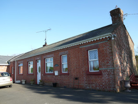 The Railway Houserailway station · 906 yd
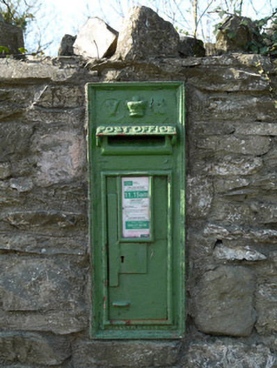 post boxpost box · 945 yd
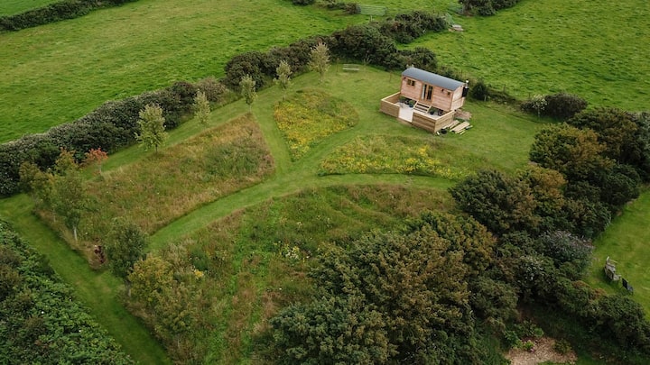 Hut site in DuneltyHut site · 1221 yd
 CastleCastle, unclassified · 2.2 mi
 Mannan Castle (in ruins)Castle, Anglo-Norman masonry castle · 2.8 mi
 Horse-chestnutHorse-chestnut · 3.4 mi
 European BeechEuropean Beech · 3.7 mi
 Flat cemetery in AnnaheanFlat cemetery · 4.1 mi
 TobernagalliaghSpring · 4.2 mi
:no_upscale()/cdn.vox-cdn.com/uploads/chorus_asset/file/25593391/County_Louth_6th.jpg) LouthMountain / peak · 5.3 mi
LouthMountain / peak · 5.3 mi BarleyhillMountain / peak · 6.7 mi