What is recorded here
Fairy forts are often called raths or hill forts and are circular areas defined by an earthen bank and a barely discernible fosse. They date from the early medieval period and are usually associated with farming and settlement.
A circular area (diam. c. 34m) defined by an earthen bank (Wth c. 3.7m; int. H c. 0.8m, ext. H c. 1.2m) and barely discernible fosse (Wth c. 4.2m). No evidence of original entrance.
The above description is derived from the published 'Archaeological Inventory of County Laois' (Dublin Stationery Office, 1995) compiled by P. David Sweetman, Olive Alcock and Bernie Moran. In certain instances the entries have been revised and updated in the light of recent research.
Date of upload: 17 December 2007
The monument record does not grant public access. Check the route and ask the landowner before entering private land.
- What survives
- Recorded monument
Places near here
 Moneynamuck Ringfort (rath)Archaeological place · 1072 yd
 Church in Kyle (clandonagh By., Kyle South Ed)Church · 1097 yd
 RathbaneConcentric enclosure · 1254 yd
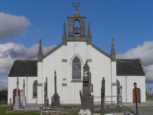 Catholic Church of the Immaculate Conceptionchurch/chapel · 1.1 mi
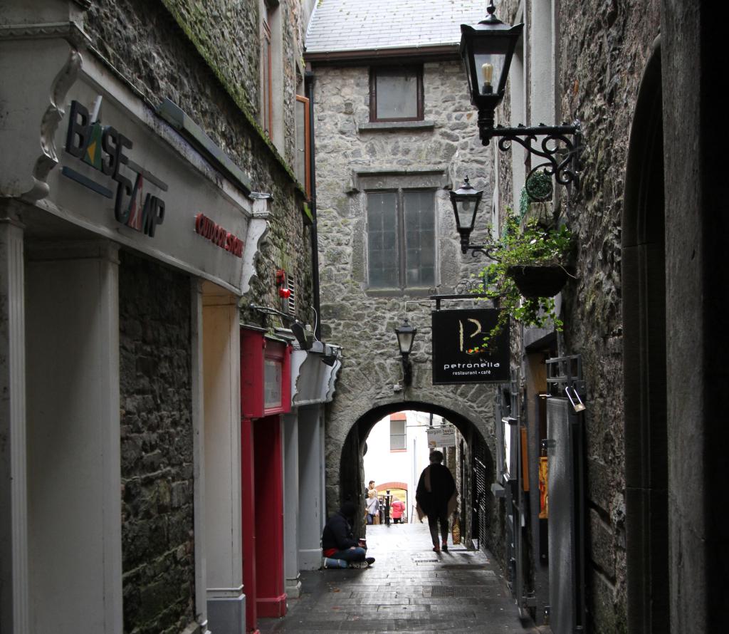 Bawn in WhiteswallBawn · 1.3 mi
 Cnoc SeanrathaMemorial · 1.7 mi
 Grangefertagh Castle (site)Archaeological place · 1.8 mi
 Street fieldArchaeological place · 2.1 mi
 Big WoodWood · 4.0 mi
 DelaneyMemorial · 4.0 mi
 Clomantagh HillMountain / peak · 5.0 mi
 Anker's IslandIsland · 8.1 mi