What is recorded here
Fairy fort / earthen ringfort in Ballinderry (clonlonan By.) is a fairy fort or earthen ringfort in Ballinderry (clonlonan By.), County Westmeath, Ireland. A 1979 description recorded the site as a roughly circular area measuring 37 meters east to west and 36 meters north to south, enclosed by an earthen bank and an external fosse. The bank is best preserved from northwest through north to northeast and from southeast through south to southwest, while the external fosse is best preserved from north through northeast and from southeast through south to southwest.
Situated on a small hillock, in pasture, with extensive views to the NE, E and SE and overlooked by a higher ridge to W. Ringfort (WM031-077----) lies c. 120m to E. Depicted on the 1910 ed. OS 25-inch map as a circular-shaped earthwork. Monument described in 1979 as a roughly circular-shaped area (dims. 37m E-W; 36m N-S) enclosed by an earthen bank and external fosse. The bank is best preserved from NW-N-NE and from SE-S-SW, but is very faint from SW-W-NW and from NE-E-SE. The fosse is best preserved from N-NE and from SE-S-SW and is very shallow from SW-W-NW-N. There is no indication of an original entrance. The interior has a SE-facing slope and an uneven surface with no features visible. Monument is visible today as a roughly circular-shaped tree-lined earthwork on Digital Globe aerial photography.
Compiled by Alison McQueen, Vera Rahilly and Caimin O’Brien.
Date of upload: 22 November 2019
The monument record does not grant public access. Check the route and ask the landowner before entering private land.
- What survives
- Recorded monument
Places near here
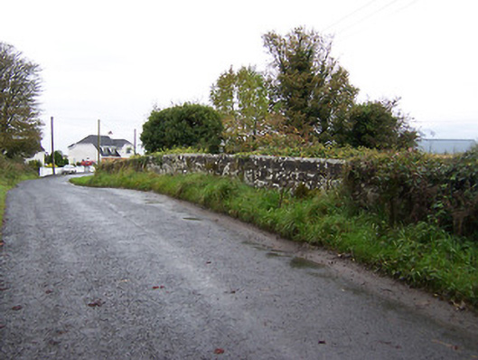 bridgebridge · 223 yd
 Partially indicatedFairy fort / earthen ringfort · 1099 yd
 Crannog in BallynahinchCrannog · 1528 yd
 Church (in Ruins)Church · 1684 yd
 Faheeran Castle (ruins)Castle · 1.1 mi
 Partially hachuredBawn · 1.1 mi
 KnockastiaMountain / peak · 2.4 mi
 Moate HillMountain / peak · 2.5 mi
 Charles BianconiMemorial · 2.6 mi
 The Bob Traynor GalleryGallery · 2.7 mi
 Dún na Sí Heritage CentreMuseum · 3.0 mi
 ToberaskeenSpring · 3.6 mi