What is recorded here
Fairy fort in Ballindeenisk is a circular earthen ringfort about forty metres across, with a 1.7 m bank, shallow fosse, western entrance gap and causeway, now planted with deciduous trees in pasture. People may have lived there, excluded others at the entrance, and lost the name of the arrangement before fairy stories took it over. The trees and grass have not hidden the shape; they have only made the old boundary harder to argue with.
In pasture, on gentle NW-facing slope. Circular area (39.5m N-S; 38m E-W) defined by earthen bank (H 1.7m), damaged to ESE; fosse (D 0.6m); possible counterscarp bank (H c. 0.5m) NW->N. Gap in bank (Wth 5m) to SW, with causeway. E side of entrance partially stone faced; as is drop of 0.8m from entrance onto causeway. Interior level; whole site planted with deciduous trees.
The above description is derived from the published 'Archaeological Inventory of County Cork. Volume 2: East and South Cork' (Dublin: Stationery Office, 1994). In certain instances the entries have been revised and updated in the light of recent research.
Date of upload/revision: 14 January 2009
The monument record does not grant public access. Check the route and ask the landowner before entering private land.
- What survives
- Recorded monument
Places near here
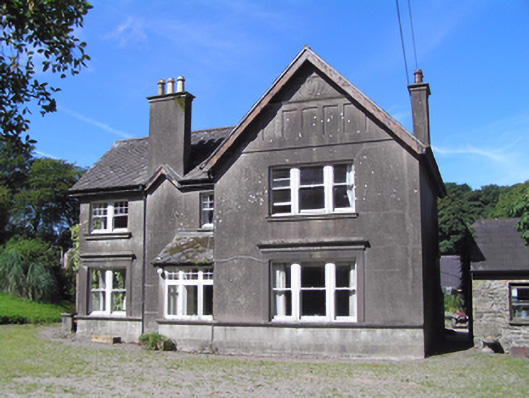 Ballindeenisk Househouse · 624 yd
 Water millWater mill, horizontal-wheeled · 969 yd
 Burnt mound in CrushyrireeBurnt mound · 1198 yd
 Castle (Site of)Castle, unclassified · 1.3 mi
 Enclosure in TemplemichaelEnclosure · 1.3 mi
 Sarsfields Court (in Ruins)Castle, unclassified · 2.3 mi
 Gleeson MemorialMemorial · 3.4 mi
 Glanmire Heritage SocietyMemorial · 3.9 mi
 Carberrytown WoodWood · 4.3 mi
 Murphy's RockViewpoint · 4.6 mi
 Cork WalksVisitor information · 4.8 mi
 Moanbaun ForestForest · 4.9 mi