What is recorded here
Fairy fort in Ballinastack, County Galway: an earthen ringfort on an east-facing slope, its bank still drawing a clear circle thirty metres across. People may have lived there, defended it, or abandoned it when the land changed; the gap at east suggests an entrance rather than decay. The name fairy fort is a story, not a measurement, but it captures what the place keeps: a shape old enough that human urgency becomes hard to remember.
On an E-facing slope in undulating grassland. Well-preserved subcircular rath (N-S 32.5m, E-W 31.5m) defined by a bank with traces of an external fosse at S. A gap at E may be original. (Knight c. 1975, 110)
The above description is derived from the published 'Archaeological Inventory of County Galway Vol. II - North Galway'. Compiled by Olive Alcock, Kathy de hÓra and Paul Gosling (Dublin: Stationery Office, 1999).
Date of upload: 05 August 2010
The monument record does not grant public access. Check the route and ask the landowner before entering private land.
- What survives
- Recorded monument
Places near here
 Quarry in BallinastackQuarry · 555 yd
 Man-made underground passage in BallinastackMan-made underground passage · 887 yd
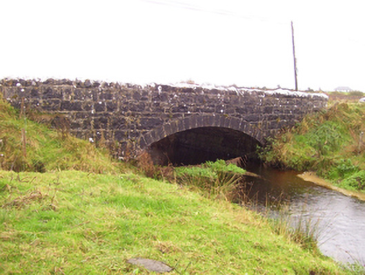 Blacker's Bridgebridge · 1298 yd
 Enclosure in Cloonlara North,felimsparkEnclosure · 1.1 mi
 CastleCastle, unclassified · 1.5 mi
 Rook HillMountain / peak · 1.6 mi
 Castle (in ruins)Castle, unclassified · 2.1 mi
 Site of Killomaine Grave YardArchaeological place · 3.7 mi
 Mount MaryMountain / peak · 7.5 mi
 HawthornHawthorn · 8.2 mi
 Sally IslandIslet · 9.7 mi
 European ashEuropean ash · 9.9 mi