What is recorded here
Fairy fort in Ballinaspig More is a shallow earthen ring, thirty-six metres across, beside a stream in County Cork. People may have lived there before fields and roads cut through the earth. The fairies took it back, as they do most ordinary places once humans stop paying attention.
In pasture, on W side of stream. Roughly circular area (36m N-S; 32m E-W) enclosed by low rise SE->NE, with shallow external fosse; natural sharp fall to stream NE->SE. Fosse truncated by field boundary on N side. Interior saucer-shaped; slopes gently down to E.
The above description is derived from the published 'Archaeological Inventory of County Cork. Volume 2: East and South Cork' (Dublin: Stationery Office, 1994). In certain instances the entries have been revised and updated in the light of recent research.
Date of upload/revision: 14 January 2009
The monument record does not grant public access. Check the route and ask the landowner before entering private land.
- What survives
- Recorded monument
Places near here
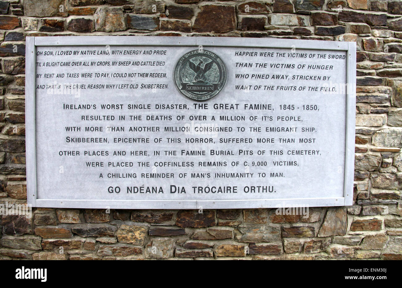 Pit-burial in Ballinaspig MorePit-burial · 218 yd
 Ballincollig ViewViewpoint · 807 yd
 Fulacht FiadhFulacht fia · 829 yd
 Murphy's FarmHeritage attraction · 937 yd
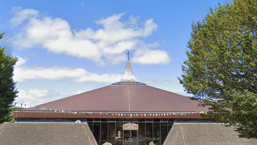 Church in Ballinaspig MoreChurch · 1096 yd
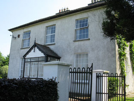 Castlewhitehouse · 1317 yd
 Caslte (Site of)Castle, unclassified · 1344 yd
 viaduct city viewViewpoint · 1622 yd
 Sunday WellSpring · 1.2 mi
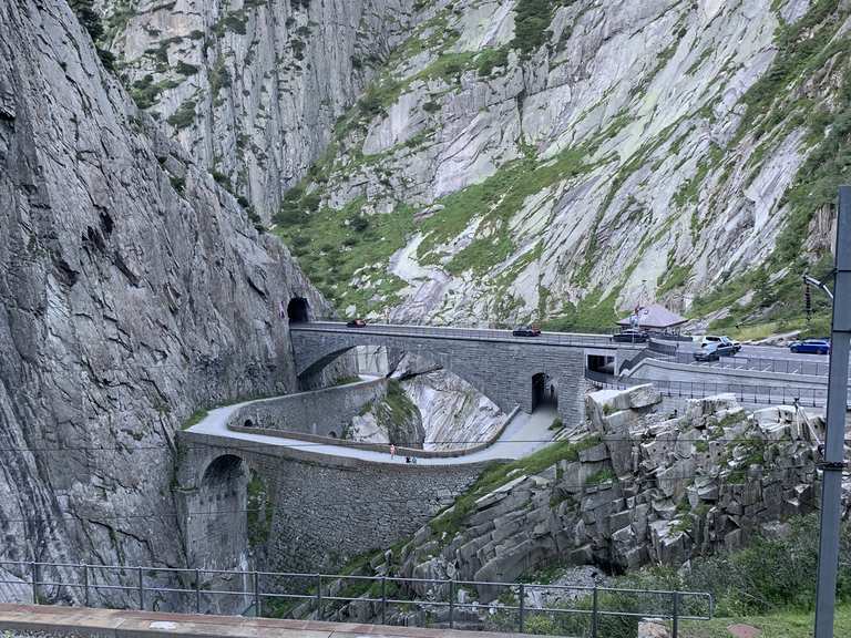 Monument WaterfallMonument · 1.3 mi
 Graveyard in BallynoraGraveyard · 1.5 mi
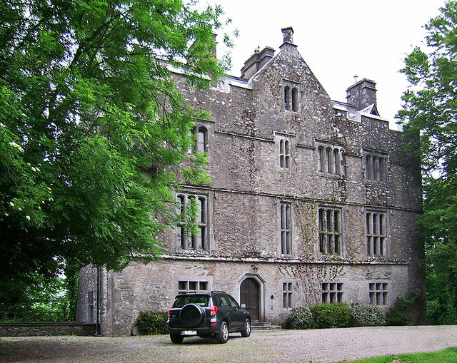 Carrigrohane Castle (in Ruins)Castle, Anglo-Norman masonry castle · 1.9 mi