What is recorded here
Situated on a gentle SW-facing slope. Circular area (diam. 34m) defined by an earthen bank (Wth 2-3m; int. H 1.2m at SW - 1.8m at NE; ext. H 1m) and an external fosse (Wth 3m at NE - 5m at SW; D 0.5-1m). The entrance (Wth 3m) is at the SW, and there is a modern gap at the SE. There are two rectangular structures (dims. 16.8m x 6.5m, and 11m x 4m) defined by low narrow banks in the interior (possibly not contemporary).
The above description is derived from the published 'Archaeological Inventory of County Wicklow' (Dublin: Stationery Office, 1997). In certain instances the entries have been revised and updated in the light of recent research.
Date of upload/revision: 17 December 2008
The monument record does not grant public access. Check the route and ask the landowner before entering private land.
- What survives
- Recorded monument
Places near here
 Enclosure in Saundersgrove HillEnclosure · 496 yd
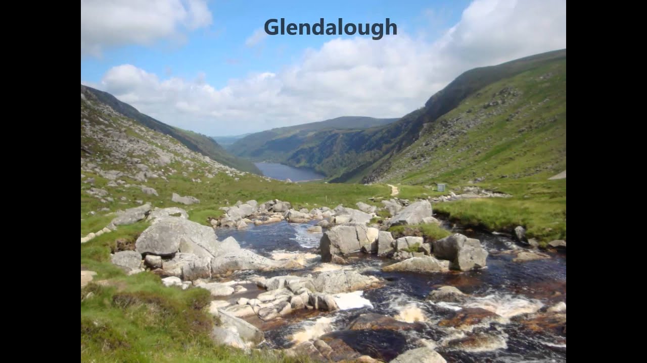 IndicatedEnclosure · 887 yd
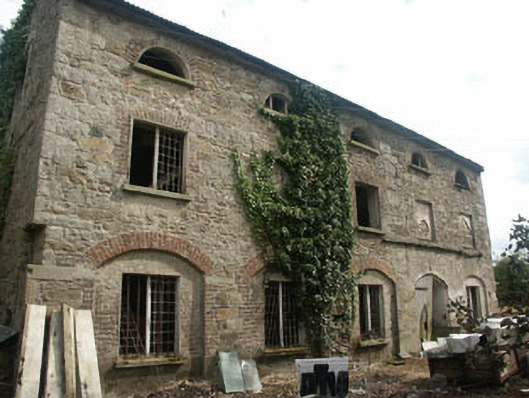 mill (water)mill (water) · 1211 yd
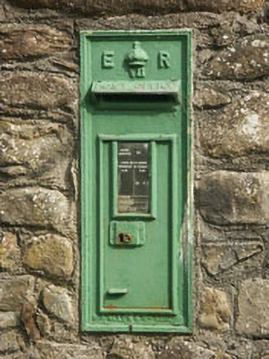 post boxpost box · 1260 yd
 Bawn in Ballintruer BegBawn · 1.6 mi
 Ballyhook HillMountain / peak · 2.0 mi
 CastleCastle, tower house · 2.1 mi
 Saint Brigit's Mass StoneNamed rock · 2.2 mi
 Saint Brigit's ChairNamed rock · 2.3 mi
 Tinoran HillMountain / peak · 2.3 mi
 Sam McAllistair GraveMemorial · 2.4 mi
 English hollyEnglish holly · 3.0 mi