What is recorded here
Situated immediately SW of a hill summit on a gentle S-facing slope. Oval area (dims. 34m N-S; 31m E-W) defined by an earthen bank (Wth 5m; H 0.3-0.9m) and an external fosse (Wth 2.5m; D 0.15m). There is a berm between the bank and fosse NE-S-SW which widens to a maximum width of 4.7m at the E, opposite the entrance in the bank (Wth 2.5m). A causeway (Wth 3m) across the fosse at the NE leads onto the berm and may be an original feature. The interior has a fall of 2m from N to S and there are no other internal features.
The above description is derived from the published 'Archaeological Inventory of County Wicklow' (Dublin: Stationery Office, 1997). In certain instances the entries have been revised and updated in the light of recent research.
Date of upload/revision: 17 December 2008
The monument record does not grant public access. Check the route and ask the landowner before entering private land.
- What survives
- Recorded monument
Places near here
 IndicatedEnclosure · 342 yd
 Enclosure in Saundersgrove HillEnclosure · 854 yd
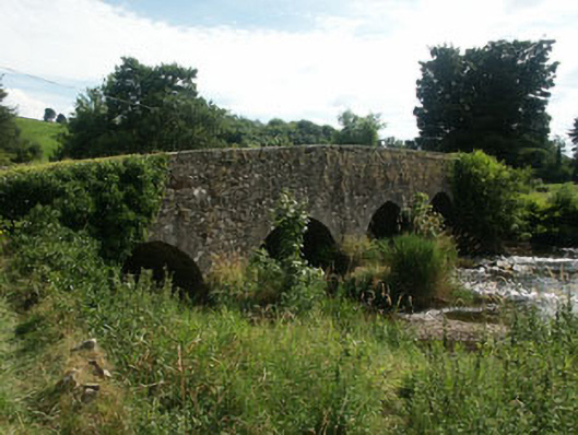 Manger Bridgebridge · 1037 yd
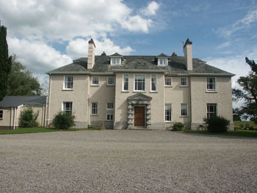 Saundersgrovecountry house · 1349 yd
 Bawn in Ballintruer BegBawn · 1.4 mi
 Ballyhook HillMountain / peak · 1.6 mi
 CastlerudderyCastle, unclassified · 1.8 mi
 Saint Brigit's Mass StoneNamed rock · 2.3 mi
 Saint Brigit's ChairNamed rock · 2.4 mi
 Tinoran HillMountain / peak · 2.5 mi
 Sam McAllistair GraveMemorial · 2.6 mi
 English hollyEnglish holly · 2.7 mi