What is recorded here
Located on a SE-facing slope. The cropmark of an oval enclosure (dims. c. 30m NW-SE; c. 20m NE-SW) defined by a single fosse feature with no entrance gap is visible on digital aerial photographs (WX030-087_1 to _4) taken in 2006. It is also partly visible as a vegetation mark on a series of OSI aerial photographs (2000).
WX030-087----_1.jpg. from N
Compiled by: Michael Moore
Date of upload: 15 August, 2012
Amended: 4 April, 2014
The monument record does not grant public access. Check the route and ask the landowner before entering private land.
- What survives
- Recorded monument
Places near here
 IndicatedFairy fort / ringfort · 644 yd
 Site of ChurchChurch · 841 yd
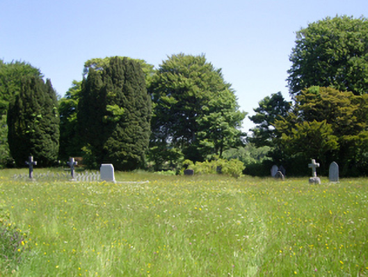 Saint Peter's Church (Adamstown)graveyard/cemetery · 1671 yd
 Carrickmastia HillMountain / peak · 1.0 mi
 Palace East Junction Railway Stationrailway station · 1.5 mi
 Glenour MonumentMemorial · 2.6 mi
 Old Ross MoteCastle, motte and bailey · 2.8 mi
 Carrickbyrne HillMountain / peak · 2.9 mi
 Castle in ruinsCastle, tower house · 3.0 mi
 Forest Of The DunbrodyForest · 4.7 mi
 1798 RebellionMemorial · 4.9 mi
 Coolcliffe HouseRuins · 8.2 mi