What is recorded here
No visible fort remains in Baile Uí Bhuinn, though Tobar an Leasa still names the lost ringfort beside the well. The name preserves what the land concealed: a circular defence, a water source and possibly an underground passage touching the living area. People may have lived there beside Brandon Bay, using the fort for shelter and the well for daily life. Later drain work destroyed the well and exposed a cave-like passage that was never fully entered. What is missing has not stopped the place speaking; its name still draws the forgotten shape into view.
Tobernasool/Tobar na Súl or Tobar an Leasa: Situated 300m from the seashore on the W side of Brandon Bay. Excavation of a drain led to the destruction of the well (KE026-014----). During the digging of the drain a 'cave' was discovered but not fully explored (local information). This may have been a Man-made underground passage (KE026-014001-) and the alternative name for the well, Tobar an Leasa, suggests that there may formerly have been a ringfort (KE026-014002-) in the vicinity as well.
The above description is derived from J. Cuppage, ‘Corca Dhuibhne. Dingle Peninsula archaeological survey. Ballyferriter. Oidhreacht Chorca Dhuibhne’ (1986), no. 926. In certain instances the entries have been revised and updated in the light of recent research.
Date of upload: 7 August 2013
The monument record does not grant public access. Check the route and ask the landowner before entering private land.
- What survives
- Recorded monument
Places near here
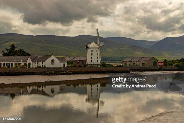 TobernasoolHoly well · 12 yd
 Man-made underground passage in Baile Uí BhuinnMan-made underground passage · 463 yd
 Church in Baile Uí BhuinnChurch · 688 yd
 Pointe na CathrachHeadland · 1081 yd
 An CheapaighBeach / strand · 1478 yd
 An t'Oileán DubhIslet · 1724 yd
 Penitential station in MurorgánPenitential station · 1.4 mi
 Drom BeachBeach / strand · 1.7 mi
 An BuaicínMountain / peak · 1.7 mi
 Cnoc DuíléibheMountain / peak · 1.8 mi
 Brandon PointViewpoint · 1.8 mi
 Site of CastleCastle, unclassified · 2.0 mi