What is recorded here
Fairy fort in Baile Mór Thiar and Baile Mór Thoir is a broad earthen ring at the foot of Monaree Hill, overlooking Ballymore village. Much of the old bank has been taken into a later stone-faced boundary, yet the circle still stands out above the cultivation ridges inside. The entrance is widened where a field fence cuts through, and a shallow depression near the centre may mark the underground passage local people still believe lies hidden beneath the soil.
Internal diam. 45.8m SW-NE, 42.9m SE-NW.
This roughly circular univallate rath is located at the foot of the S slopes of Monaree Hill, overlooking Ballymore village. Though the outline of the enclosure is still preserved, much of the earthen enclosing bank has been replaced by or incorporated into a later bank. The latter is low and narrow and is faced on both sides with drystone masonry. The original bank survives around less than half the perimeter on the N side and also for a 9m long stretch to E of the SE facing entrance. It is up to 2.5m high externally and 1.5m high internally. A laneway skirts the enclosure to W and NW. The entrance has been disturbed by the field fence which bisects the enclosure WNW-ENE, and it is now 3 to 4m wide. The stone-faced gap at NE is a secondary feature.
The interior is raised above the external ground level on the downhill side. It is now occupied by a series of cultivation ridges, but 2 shallow depressions, to NE of the dividing field wall, may be the remains of hut sites (KE053-007002- & KE053-007003-). A roughly circular depression to S of those may relate to the Man-made underground passage KE053-007001- which is locally reputed to be present.
The above description is derived from J. Cuppage, ‘Corca Dhuibhne. Dingle Peninsula archaeological survey. Ballyferriter. Oidhreacht Chorca Dhuibhne’ (1986), no. 325. In certain instances the entries have been revised and updated in the light of recent research.
Date of upload: 6 August 2013
The monument record does not grant public access. Check the route and ask the landowner before entering private land.
- What survives
- Recorded monument
Places near here
 Man-made underground passage in Baile Mór Thiar,baile Mór ThoirMan-made underground passage · 2 yd
 Man-made underground passage in Baile Mór ThiarMan-made underground passage · 226 yd
 Site of Ballingolin CastleArchaeological place · 1.0 mi
 CastleCastle, unclassified · 1.1 mi
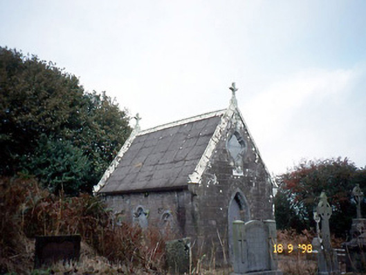 Reilig Ráithín Uí Bhuaigh [Reheenyhooig Graveyard]mausoleum · 1.1 mi
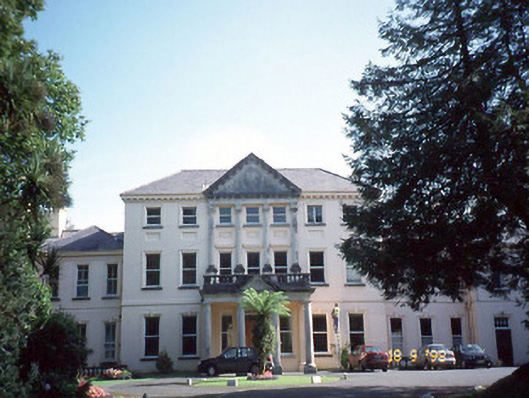 Coláiste Ídecountry house · 1.1 mi
 An Chathair AirdMountain / peak · 1.4 mi
 Trá Ciarán BeachBeach / strand · 1.5 mi
 Cnoc na CeathrúnMountain / peak · 2.2 mi
 Dingle Marina Dive CentreHeritage attraction · 2.4 mi
 Memorial to all who lost their lives in our seas.Memorial · 2.4 mi
 Charles HaugheyMemorial · 2.5 mi