What is recorded here
Fairy forts are human origins wearing a magical skin. In Baile An Mhathamhnaigh, a 48m ring on a sunny slope has been halved by time and field walls, yet a shallow southern hollow still hints at a hidden chamber or forgotten dwelling. The fairies may be ghosts of the people who lived there, waiting for someone to remember the shape of their home.
Estimated diam. 48m
This site was marked as a circular univallate enclosure on the 1st edition of the OS map. By 1896 the W half had been destroyed (2nd edition of OS map), and the bank around the E half is now only faintly discernible. There are slight traces of a possible fosse. The S part of the interior has been bisected E-W by a field wall. Low mounds occur on either side of this and on the S side is a depression measuring c. 8m in diameter and .6m in depth. The latter may mark the location of a hut site or possibly a Man-made underground passage. The site lies on a SE facing slope about 125m E of KE053-022----.
The above description is derived from J. Cuppage, ‘Corca Dhuibhne. Dingle Peninsula archaeological survey. Ballyferriter. Oidhreacht Chorca Dhuibhne’ (1986), no. 615. In certain instances the entries have been revised and updated in the light of recent research.
Date of upload: 7 August 2013
The monument record does not grant public access. Check the route and ask the landowner before entering private land.
- What survives
- Recorded monument
Places near here
 Man-made underground passage in Baile An MhathamhnaighMan-made underground passage · 21 yd
 ListonavallyArchaeological place · 173 yd
 GarrynabraherBuilding · 723 yd
 Ballintaggart Ogham StonesVisitor information · 782 yd
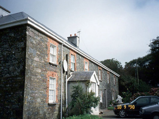 Lough Househouse · 1186 yd
 10Cliff · 1601 yd
 Hussy's FollyHeritage attraction · 1717 yd
 40Cliff · 1.1 mi
 Castle (Site of)Castle, tower house · 1.2 mi
 Caol Cronin - SeascapesGallery · 1.2 mi
 Charles HaugheyMemorial · 1.4 mi
 Memorial to all who lost their lives in our seas.Memorial · 1.4 mi