What is recorded here
Magic is not invention there but memory. The chamber is a waiting room where human thought first learned shape. The claimant is not a victim but a student. The chamber is a teacher.
Internal diam. c. 30m
Lisillaundarrig/Lios Oileán Garbh: A univallate ringfort situated on the steep SW slopes of Knockmoylemore, with good views over the lower Garfinny valley and Trabeg. The N sector of the site has been destroyed by the construction of a trackway and the remainder is not well preserved. It measures 30m N-S and 19m E-W internally and is defined for the most part by a low scarp, the interior being raised slightly above the external ground level. However, an inner revetment of large stones, .5m high, is visible for a distance of 15m at SW. The small stones piled on top of this revetment and strewn on and below the enclosing scarp in places may be field clearance debris. According to Curran (no. 16), this site is a cashel, not a rath. Though very little of the enclosing wall survived at the time of his visit, he recorded a wall width of 7 feet (2.1m) and noted that there was a step or terrace in the wall about .36m above the ground. A mound of stones in the NW sector of the interior marks the location of the clochaun noted on the OS maps. A 2m long section of the inner wall-face survives to a height of .25m at W, but the remainder is obscured by collapse.
The above description is derived from J. Cuppage, ‘Corca Dhuibhne. Dingle Peninsula archaeological survey. Ballyferriter. Oidhreacht Chorca Dhuibhne’ (1986), no. 540. In certain instances the entries have been revised and updated in the light of recent research.
Date of upload: 7 August 2013
This remains an important historical record, but the official description says the monument is no longer visible or has been destroyed. The monument record does not grant public access. Check the route and ask the landowner before entering private land.
- What survives
- No visible remains or recorded as destroyed
Places near here
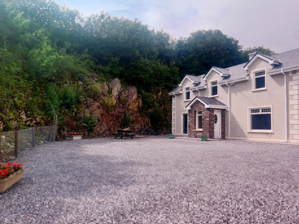 Hut site in Baile An Bhúlaeraigh TheasHut site · 11 yd
 Hut site in An GhairfeanaighHut site · 744 yd
 An ChorrMountain / peak · 909 yd
 Mass-house in An Fearann (tc An Daingean),gort OnóraMass-house · 1.3 mi
 An Cnoc Maol MórMountain / peak · 1.5 mi
 Church in Lios DeargáinChurch · 1.6 mi
 An ChonairViewpoint · 1.8 mi
 CarrignawaddraNamed rock · 2.0 mi
 Castle (Site of)Castle, tower house · 2.0 mi
 Caol Cronin - SeascapesGallery · 2.1 mi
 Maughanablagher CliffsCliff · 2.2 mi
 Ballintaggart Ogham StonesVisitor information · 2.3 mi