What is recorded here
Fairy fort / earthen ringfort in Aughris (corran By.) is a fairy fort or earthen ringfort in Aughris (corran By.), County Sligo, Ireland. It occupies pasture on a drumlin and forms an oval area enclosed by an earth and stone bank. The bank joins a field boundary on the north arc and a lane on the west arc. Two parallel rubble walls remain in the west half of the clear interior.
In pasture, on top of a drumlin. An oval area (int. diam. 34.5m N-S; 26.6m E-W) enclosed by an earth and stone bank (Wth 3.3m; int. H 1.2m; ext. H 1.45m). The bank is incorporated into a field boundary system along the N arc and is skirted by a lane along the W arc. The concave interior slopes down to E and is clear of overgrowth. The remains of a possible structure in the W half of interior consists of two parallel rubble stone walls (on a N-S axis), c. 6m apart. The W wall (T 1.5m; int. H 0.55m; ext. H 0.4m) measures 13.1m in length and the E wall (T 1.5m; int. H 0.25m; ext. H 0.75m) is 11.9m in length.
The above description is derived from the published 'Archaeological Inventory of County Sligo' compiled by Ursula Egan, Elizabeth Byrne, Mary Sleeman with Sheila Ronan and Connie Murphy (Dublin Stationery Office, 2005).
Date of upload: 18 January 2008
The monument record does not grant public access. Check the route and ask the landowner before entering private land.
- What survives
- Recorded monument
Places near here
 Fairy fort / stone ringfort in Lissananny MoreFairy fort / stone ringfort · 558 yd
 Abbey (in Ruins)Church · 895 yd
 Indicated (1838).Fairy fort / earthen ringfort · 1.3 mi
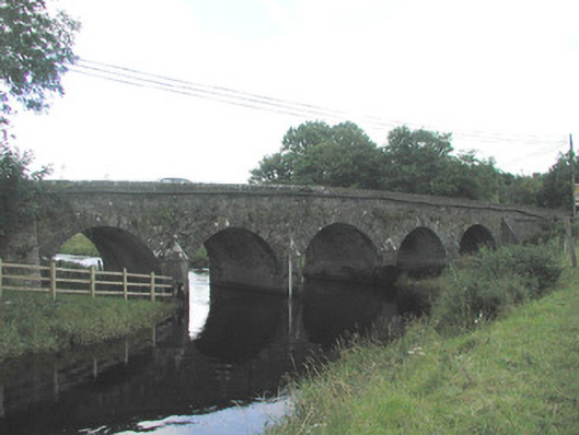 Big Bridgebridge · 1.5 mi
 Ballymote CastleCastle · 1.6 mi
 Brother WalfridMemorial · 1.7 mi
 RathdoonyCastle, motte · 2.0 mi
 Tymon's HillMountain / peak · 2.7 mi
 ElderElder · 3.4 mi
 Caves of KeshCave · 3.8 mi
 European ashEuropean ash · 4.0 mi
 Kesh CorannMountain / peak · 4.2 mi