What is recorded here
Fairy fort / earthen ringfort in Ashleypark (Knigh parish), rockview (Knigh parish) is a fairy fort or earthen ringfort in Ashleypark (Knigh parish), rockview (Knigh parish), County Tipperary, Ireland. It occupies a gentle southwest-facing meadow slope and preserves a thirty-metre circular interior. An earthen bank surrounds the centre, while a wide, shallow ditch cuts outside that bank. A north-south wall now crosses the western edge, and scrub fills the interior.
Located on a gentle SW-facing slope in meadow. A raised, circular area (diam. 30m N-S) enclosed by earthen bank (Wth 3.1m; int. H 0.66m; ext. H 1.68m) which is less defined in the SW quadrant and a wide, shallow outer fosse (Wth 3.3m; D 0.2m). A N-S field wall transects the W portion of the site. Part of a field boundary, indicated on the latest ed. OS 6-inch map, extends along external S and W portions contiguous with the inner bank. The interior is heavily overgrown with scrub and is also used as a dump.
The above description is derived from 'The Archaeological Inventory of County Tipperary. Vol. 1 - North Tipperary' compiled by Jean Farrelly and Caimin O'Brien (Dublin: Stationery Office, 2002). In certain instances the entries have been revised and updated in the light of recent research.
Date of upload/revision: 22 September 2008
The monument record does not grant public access. Check the route and ask the landowner before entering private land.
- What survives
- Recorded monument
Places near here
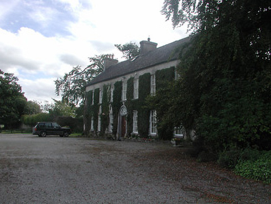 Prospect Housecountry house · 1078 yd
 Megalithic structure in Ashleypark (ardcrony Par.)Megalithic structure · 1089 yd
 Fulacht fia in BallythomasFulacht fia · 1307 yd
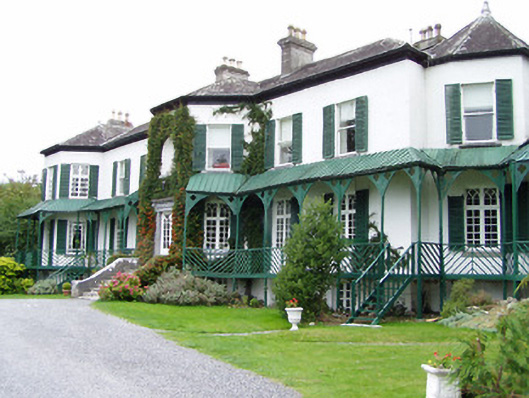 Ashley Park Housecountry house · 1530 yd
 Castle (in ruins)Castle, tower house · 1619 yd
 Knigh HillMountain / peak · 1.1 mi
 Knigh Castle (in ruins)Castle, tower house · 1.5 mi
 Goose IslandIslet · 3.4 mi
 James Devaney MemorialMemorial · 3.6 mi
 Dromineer BayBay · 3.8 mi
 Buggane IslandIslet · 4.1 mi
 Ballycapple WoodForest · 4.2 mi