What is recorded here
Fairy fort / earthen ringfort in Ashleypark (Ardcrony parish) is a fairy fort or earthen ringfort in Ashleypark (Ardcrony parish), County Tipperary, Ireland. It sits on a southwest-facing woodland slope and holds a circular area measuring 31 metres north to south and 32 metres east to west. An earth and stone bank surrounds this space, standing 1.9 metres high outside and 0.8 metres high inside. A shallow outer ditch runs beyond the bank, reaching 3.5 metres across and 0.5 metres deep.
Situated on a SW-facing slope in woodland. Not depicted on the 1st ed. OS 6-inch map. A circular area (diam. 31m N-S; 32m E-W) enclosed by an earth and stone bank (Wth c. 2.3m; int. H 0.8m; ext. H 1.9m) and outer fosse (Wth 3.5m; D 0.5m) which is less pronounced at N. The interior slopes slightly to the S where there is a causewayed entrance (Wth 2.5m). Some boulders are dumped along the edge of the fosse at W.
The above description is derived from 'The Archaeological Inventory of County Tipperary. Vol. 1 - North Tipperary' compiled by Jean Farrelly and Caimin O'Brien (Dublin: Stationery Office, 2002). In certain instances the entries have been revised and updated in the light of recent research.
Date of upload/revision: 22 September 2008
The monument record does not grant public access. Check the route and ask the landowner before entering private land.
- What survives
- Recorded monument
Places near here
 Megalithic structure in Ashleypark (ardcrony Par.)Megalithic structure · 390 yd
 Enclosure in Ashleypark (ardcrony Par.)Enclosure · 591 yd
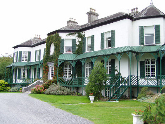 Ashley Park Housecountry house · 791 yd
 Castle (in ruins)Castle, tower house · 910 yd
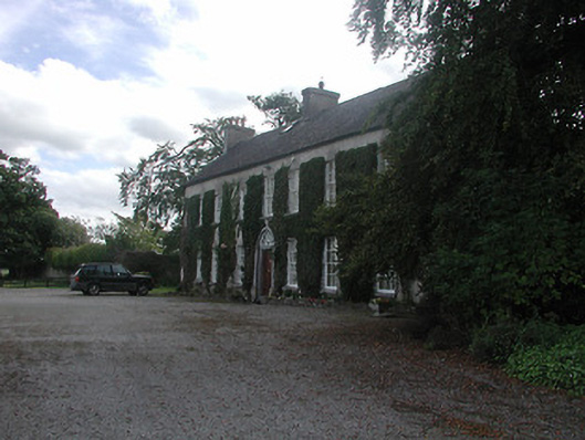 Prospect Housecountry house · 1.0 mi
 Knigh HillMountain / peak · 1.4 mi
 Knigh Castle (in ruins)Castle, tower house · 1.6 mi
 James Devaney MemorialMemorial · 3.2 mi
 Goose IslandIslet · 3.8 mi
 Ballycapple WoodForest · 3.8 mi
 Dromineer BayBay · 4.2 mi
 Old BarracksHeritage attraction · 4.4 mi