What is recorded here
Fairy forts are no such thing, despite the name. They are ordinary ringforts, built and lived in by ordinary people. The true wonder is that we have forgotten them.
Raised circular area (int. diam. 34.5m) enclosed by a much-denuded low earthen bank and a wide, shallow fosse identifiable in its original form only from WNW-N-NNE. Elsewhere it has been largely infilled or replaced by modern field boundaries. Break in bank at SSW probably represents original entrance. Internal area densely overgrown with vegetation.
The above description is derived from the published 'Archaeological Inventory of County Cavan' (Dublin: Stationery Office, 1995). In certain instances the entries have been revised and updated in the light of recent research.
Date of upload/revision: 22 December 2008
The monument record does not grant public access. Check the route and ask the landowner before entering private land.
- What survives
- Recorded monument
Places near here
 AshgroveMountain / peak · 187 yd
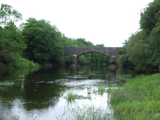 Baker's Bridgebridge · 609 yd
 Enclosure in AshgroveEnclosure · 668 yd
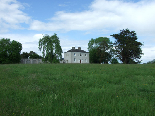 Ashgrove Housecountry house · 1002 yd
 IndicatedFairy fort / stone ringfort · 1706 yd
 InishmuckIsland · 1.0 mi
 DrumcalpinMountain / peak · 1.0 mi
 Annagh Lough BeachBeach / strand · 1.5 mi
 Putiaghan Lower ForestForest · 1.9 mi
 Drumlane AbbeyHeritage attraction · 1.9 mi
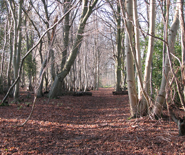 Kilnaglare Lower WoodForest · 1.9 mi
 Duck IslandIsland · 2.2 mi